Cà Mau night lights from space
Night Light of Cà Mau from space (Vietnam) Src. Average luminocity for 10x10km area is 40.3182% and for 50x50km: 3.1331%.
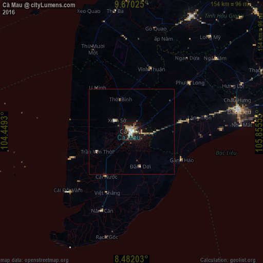

Analysis of Cà Mau night lights 2016
Square area 10x10 km:
 5.84%
5.84%90-99
8.01%80-89
6.06%70-79
4.33%60-69
3.68%50-59
6.49%40-49
6.71%30-39
4.55%20-29
4.55%10-19
45.24%0-9
4.55%Square area 50x50 km:
0.37%90-99
0.35%80-89
0.45%70-79
0.3%60-69
0.33%50-59
0.37%40-49
0.63%30-39
0.5%20-29
0.45%10-19
2.9%0-9
93.36%Clear (daylight) street map image can be seen on geolist.org.
Map coordinates:
9° 52' 12.9" North, 104° 26' 57.5" East
9° 10' 36.6" North, 105° 9' 8.7" East
8° 28' 55.3" North, 105° 51' 20" East
Some cities around Cà Mau sort by population:
• Cần Thơ
118.4 km =73.6 mi,  36°
36°
• Rạch Giá
93.2 km =57.9 mi,  355°
355°
• Sa Dec
140.4 km =87.2 mi,  28°
28°
• Long Xuyên
138 km =85.7 mi,  12°
12°
• Sóc Trăng
101.5 km =63.1 mi,  62°
62°
• Bạc Liêu
64.5 km =40.1 mi,  78°
78°
• Vị Thanh
76 km =47.2 mi, 27°
• Thị Trấn Tân Thành
129.4 km =80.4 mi,  21°
21°
1586443 (p: 111,894)
Sources (retrieved 2019-11-25):
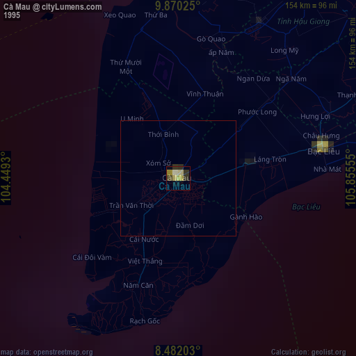
» NASA, Earths city lights 1995
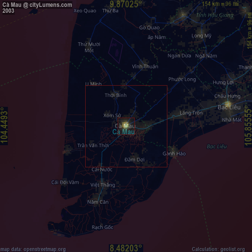
» NASA city lights 2003
» Earth at Night: Flat Maps 2012, 2016