Saint Croix night lights from space
Night Light of Saint Croix (Saint Croix Island) from space (U.S. Virgin Islands) Src. Average luminocity for 10x10km area is 58.987% and for 50x50km: 5.3677%.
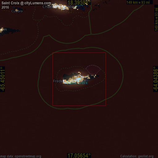

Analysis of Saint Croix night lights 2016
Square area 10x10 km:
 9.74%
9.74%90-99
11.69%80-89
10.17%70-79
10.39%60-69
14.5%50-59
5.41%40-49
2.81%30-39
4.98%20-29
20.56%10-19
9.74%0-9
0%Square area 50x50 km:
0.54%90-99
0.75%80-89
1.12%70-79
0.75%60-69
1.02%50-59
0.37%40-49
0.18%30-39
0.48%20-29
1.75%10-19
4.68%0-9
88.34%Clear (daylight) street map image can be seen on geolist.org.
Map coordinates:
18° 23' 45.5" North, 65° 27' 0.4" West
17° 43' 39" North, 64° 44' 49.1" West
17° 3' 23.5" North, 64° 2' 37.9" West
Some cities around Saint Croix sort by population:
• Fajardo, PR
116.6 km =72.5 mi,  304°
304°
• Charlotte Amalie
71 km =44.1 mi,  344°
344°
• Isabel Segunda, PR
87.3 km =54.2 mi, 302°
• Road Town, VG
78.9 km =49 mi,  9°
9°
• Ceiba, PR
112.5 km =69.9 mi, 302°
• Punta Santiago, PR
116.6 km =72.5 mi,  294°
294°
• Cruz Bay
67.3 km =41.8 mi,  355°
355°
• Culebra, PR
86.8 km =53.9 mi,  317°
317°
4796512 (p: 50,601)
Sources (retrieved 2019-11-25):
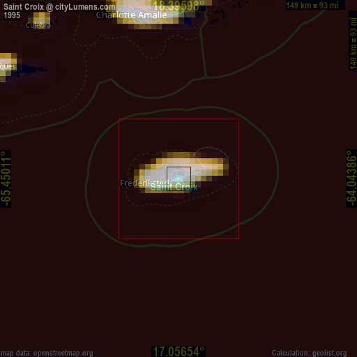
» NASA, Earths city lights 1995
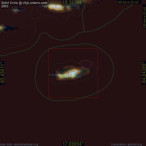
» NASA city lights 2003
» Earth at Night: Flat Maps 2012, 2016