Fajardo night lights from space
Night Light of Fajardo from space (Puerto Rico) Src. Average luminocity for 10x10km area is 47.7789% and for 50x50km: 14.0644%.
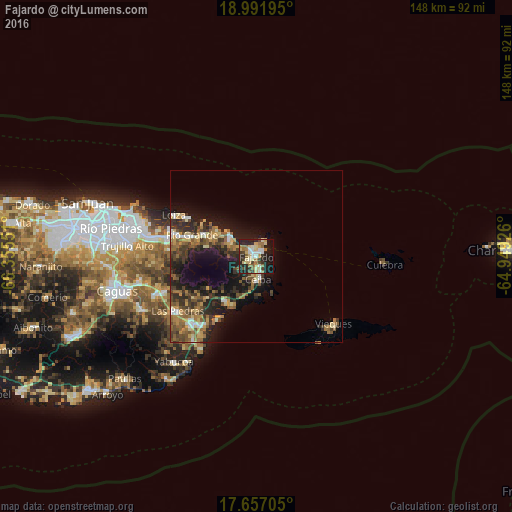
Analysis of Fajardo night lights 2016
Square area 10x10 km:
 5.58%
5.58%90-99
8.26%80-89
12.4%70-79
3.51%60-69
10.74%50-59
3.31%40-49
4.55%30-39
7.02%20-29
20.04%10-19
22.93%0-9
1.65%Square area 50x50 km:
1%90-99
1.33%80-89
1.95%70-79
1.7%60-69
3.03%50-59
2.64%40-49
2.5%30-39
3.32%20-29
4.78%10-19
9.98%0-9
67.76%Clear (daylight) street map image can be seen on geolist.org.
Map coordinates:
18° 59' 31" North, 66° 21' 19.8" West
18° 19' 32.8" North, 65° 39' 8.6" West
17° 39' 25.4" North, 64° 56' 57.3" West
Some cities around Fajardo sort by population:
• Río Grande
19.8 km =12.3 mi,  287°
287°
• Canovanas
26.6 km =16.5 mi,  281°
281°
• Luquillo
8.5 km =5.3 mi,  307°
307°
• San Isidro
25.7 km =16 mi, 286°
• Ceiba
6.9 km =4.3 mi,  176°
176°
• Punta Santiago
20.4 km =12.7 mi,  209°
209°
• Naguabo
15.4 km =9.6 mi, 214°
• Loíza
26.7 km =16.6 mi,  296°
296°
4564946 (p: 34,068)
Sources (retrieved 2019-11-25):
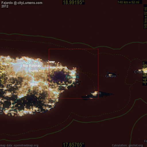
» Earth at Night: Flat Maps 2012, 2016