Charlotte Amalie night lights from space
Night Light of Charlotte Amalie (Saint Thomas Island) from space (U.S. Virgin Islands) Src. Average luminocity for 10x10km area is 45.1963% and for 50x50km: 3.3765%.
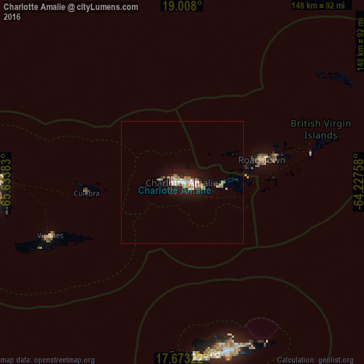
Analysis of Charlotte Amalie night lights 2016
Square area 10x10 km:
 7.44%
7.44%90-99
10.74%80-89
7.02%70-79
5.58%60-69
7.85%50-59
2.27%40-49
0.83%30-39
4.75%20-29
13.22%10-19
38.22%0-9
2.07%Square area 50x50 km:
0.41%90-99
0.62%80-89
0.5%70-79
0.37%60-69
0.53%50-59
0.23%40-49
0.09%30-39
0.32%20-29
0.68%10-19
3.57%0-9
92.71%Clear (daylight) street map image can be seen on geolist.org.
Map coordinates:
19° 0' 28.8" North, 65° 38' 1.8" West
18° 20' 30.8" North, 64° 55' 50.5" West
17° 40' 23.6" North, 64° 13' 39.3" West
Some cities around Charlotte Amalie sort by population:
• Saint Croix
71 km =44.1 mi,  164°
164°
• Fajardo, PR
76.2 km =47.3 mi,  268°
268°
• Isabel Segunda, PR
58.2 km =36.2 mi,  248°
248°
• Road Town, VG
34 km =21.1 mi,  73°
73°
• Luquillo, PR
83 km =51.6 mi, 272°
• Ceiba, PR
76.3 km =47.4 mi,  263°
263°
• Cruz Bay
14.5 km =9 mi,  94°
94°
• Culebra, PR
39.3 km =24.4 mi, 263°
4795467 (p: 20,000)
Sources (retrieved 2019-11-25):
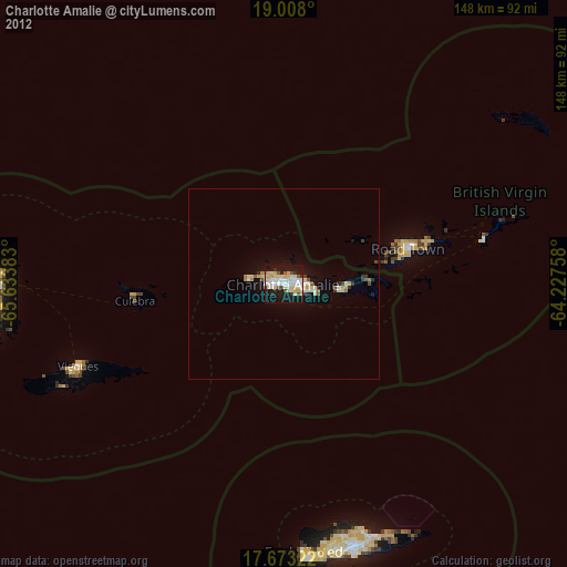
» Earth at Night: Flat Maps 2012, 2016