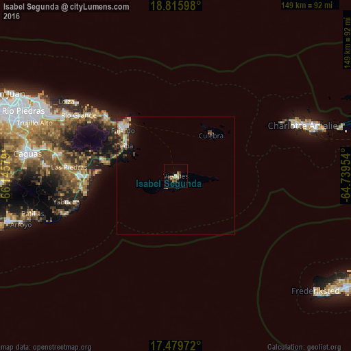
Isabel Segunda night lights from space
Night Light of Isabel Segunda (Vieques) from space (Puerto Rico) Src. Average luminocity for 10x10km area is 11.368% and for 50x50km: 2.9436%.
Analysis of Isabel Segunda night lights 2016
Square area 10x10 km:
 0%
0%90-99
0%80-89
2.81%70-79
0.65%60-69
3.9%50-59
3.9%40-49
0.43%30-39
3.03%20-29
2.16%10-19
0.65%0-9
82.47%Square area 50x50 km:
0.26%90-99
0.38%80-89
0.59%70-79
0.19%60-69
0.63%50-59
0.49%40-49
0.35%30-39
0.51%20-29
0.73%10-19
1.79%0-9
94.08%Clear (daylight) street map image can be seen on geolist.org.
Map coordinates:
18° 48' 57.5" North, 66° 8' 44.8" West
18° 8' 56.9" North, 65° 26' 33.6" West
17° 28' 47" North, 64° 44' 22.3" West
Some cities around Isabel Segunda sort by population:
• Fajardo
29.6 km =18.4 mi,  311°
311°
• Humacao
40.6 km =25.2 mi,  270°
270°
• Luquillo
38.1 km =23.7 mi, 310°
• Las Piedras
44.9 km =27.9 mi, 274°
• Ceiba
25.2 km =15.7 mi,  300°
300°
• Punta Santiago
32.3 km =20.1 mi, 273°
• Naguabo
31.6 km =19.6 mi,  282°
282°
• Culebra
22.7 km =14.1 mi,  41°
41°
4565575 (p: 9,301)
Sources (retrieved 2019-11-25):
» Earth at Night: Flat Maps 2012, 2016