Culebra night lights from space
Night Light of Culebra from space (Puerto Rico) Src. Average luminocity for 10x10km area is 2.3017% and for 50x50km: 0.5829%.
Analysis of Culebra night lights 2016
Square area 10x10 km:
 0%
0%90-99
0%80-89
0%70-79
0%60-69
0%50-59
1.65%40-49
0.83%30-39
1.65%20-29
0.83%10-19
0%0-9
95.04%Square area 50x50 km:
0%90-99
0%80-89
0.11%70-79
0.06%60-69
0.15%50-59
0.24%40-49
0.05%30-39
0.18%20-29
0.11%10-19
0.02%0-9
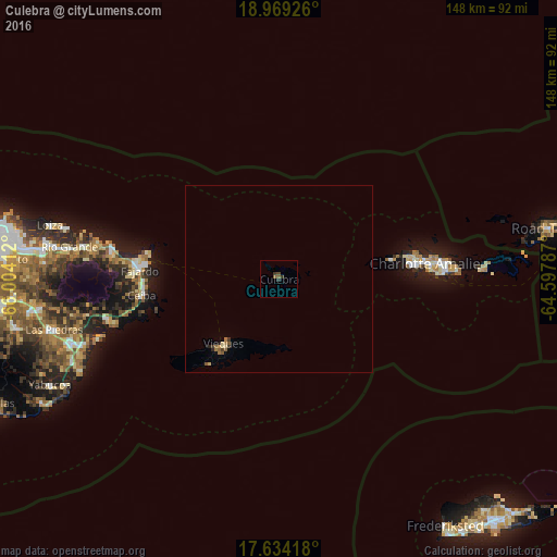
99.08%Clear (daylight) street map image can be seen on geolist.org.
Map coordinates:
18° 58' 9.3" North, 66° 0' 14.8" West
18° 18' 10.8" North, 65° 18' 3.6" West
17° 38' 3" North, 64° 35' 52.3" West
Some cities around Culebra sort by population:
• Fajardo
37.2 km =23.1 mi,  273°
273°
• Charlotte Amalie, VI
39.3 km =24.4 mi,  83°
83°
• Isabel Segunda
22.7 km =14.1 mi,  221°
221°
• Luquillo
44.5 km =27.7 mi,  279°
279°
• Ceiba
36.9 km =22.9 mi,  263°
263°
• Punta Santiago
49.6 km =30.8 mi,  252°
252°
• Naguabo
46.9 km =29.1 mi, 257°
• Cruz Bay, VI
53.6 km =33.3 mi,  86°
86°
4564070 (p: 1,486)
Sources (retrieved 2019-11-25):
» Earth at Night: Flat Maps 2012, 2016