Punta Santiago night lights from space
Night Light of Punta Santiago (Humacao) from space (Puerto Rico) Src. Average luminocity for 10x10km area is 25.0303% and for 50x50km: 21.8973%.
Analysis of Punta Santiago night lights 2016
Square area 10x10 km:
 0.87%
0.87%90-99
1.08%80-89
2.81%70-79
4.33%60-69
5.84%50-59
2.38%40-49
2.38%30-39
6.06%20-29
16.02%10-19
29.65%0-9
28.57%Square area 50x50 km:
1.68%90-99
2.26%80-89
2.79%70-79
2.91%60-69
5.13%50-59
4.62%40-49
5.01%30-39
4.7%20-29
6.19%10-19
11.24%0-9
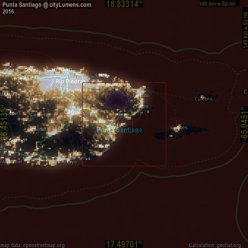
53.46%Clear (daylight) street map image can be seen on geolist.org.
Map coordinates:
18° 49' 59.3" North, 66° 27' 4.9" West
18° 9' 58.9" North, 65° 44' 53.6" West
17° 29' 49.2" North, 65° 2' 42.4" West
Some cities around Punta Santiago sort by population:
• Fajardo
20.4 km =12.7 mi,  29°
29°
• Humacao
8.6 km =5.3 mi,  257°
257°
• San Lorenzo
22.6 km =14 mi,  276°
276°
• Juncos
19.5 km =12.1 mi,  290°
290°
• Yabucoa
18.9 km =11.7 mi,  227°
227°
• Las Piedras
12.6 km =7.8 mi, 278°
• Ceiba
15.1 km =9.4 mi,  44°
44°
• Naguabo
5.2 km =3.2 mi,  15°
15°
4566992 (p: 5,803)
Sources (retrieved 2019-11-25):
» Earth at Night: Flat Maps 2012, 2016