Road Town night lights from space
Night Light of Road Town from space (British Virgin Islands) Src. Average luminocity for 10x10km area is 23.1839% and for 50x50km: 1.9498%.
Analysis of Road Town night lights 2016
Square area 10x10 km:
 1.03%
1.03%90-99
0.62%80-89
2.48%70-79
3.72%60-69
4.34%50-59
6.61%40-49
5.99%30-39
3.72%20-29
4.96%10-19
17.56%0-9
48.97%Square area 50x50 km:
0.04%90-99
0.07%80-89
0.32%70-79
0.28%60-69
0.37%50-59
0.4%40-49
0.26%30-39
0.24%20-29
0.4%10-19
1.33%0-9
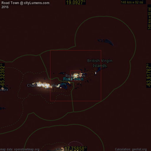
96.28%Clear (daylight) street map image can be seen on geolist.org.
Map coordinates:
19° 5' 33.7" North, 65° 19' 26.1" West
18° 25' 36.9" North, 64° 37' 14.8" West
17° 45' 30.9" North, 63° 55' 3.6" West
Some cities around Road Town sort by population:
• Saint Croix, VI
78.9 km =49 mi,  189°
189°
• Fajardo, PR
109.4 km =68 mi,  264°
264°
• Charlotte Amalie, VI
34 km =21.1 mi,  253°
253°
• Isabel Segunda, PR
92.1 km =57.2 mi, 250°
• Luquillo, PR
115.8 km =72 mi,  267°
267°
• Ceiba, PR
110 km =68.4 mi, 260°
• Cruz Bay, VI
21.1 km =13.1 mi,  239°
239°
• Culebra, PR
73.1 km =45.4 mi, 259°
3577430 (p: 8,449)
Sources (retrieved 2019-11-25):
» Earth at Night: Flat Maps 2012, 2016