Arauquita night lights from space
Night Light of Arauquita (Arauca) from space (Colombia) Src. Average luminocity for 10x10km area is 4.2056% and for 50x50km: 0.2176%.
Analysis of Arauquita night lights 2016
Square area 10x10 km:
 0.65%
0.65%90-99
1.08%80-89
1.52%70-79
0.22%60-69
0%50-59
0%40-49
0%30-39
0.87%20-29
0.22%10-19
0.65%0-9
94.81%Square area 50x50 km:
0.03%90-99
0.04%80-89
0.06%70-79
0.01%60-69
0.03%50-59
0%40-49
0%30-39
0.07%20-29
0.04%10-19
0.03%0-9
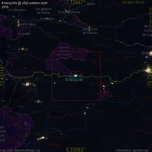
99.69%Clear (daylight) street map image can be seen on geolist.org.
Map coordinates:
7° 43' 35.3" North, 72° 7' 52.3" West
7° 1' 45" North, 71° 25' 41" West
6° 19' 51" North, 70° 43' 29.8" West
Some cities around Arauquita sort by population:
• San Cristóbal, VE
120.2 km =74.7 mi,  313°
313°
• Arauca
74.1 km =46 mi,  85°
85°
• Pamplona
140 km =87 mi,  285°
285°
• Rubio, VE
126.7 km =78.7 mi, 306°
• Guasdualito, VE
80.3 km =49.9 mi,  72°
72°
• Tame
71.8 km =44.6 mi,  208°
208°
• Táriba, VE
124.2 km =77.2 mi,  315°
315°
• Toledo
120.5 km =74.9 mi, 285°
3689714 (p: 9,950)
Sources (retrieved 2019-11-25):
» Earth at Night: Flat Maps 2012, 2016