El Tigre night lights from space
Night Light of El Tigre (Anzoátegui) from space (Venezuela) Src. Average luminocity for 10x10km area is 78.3095% and for 50x50km: 10.7099%.
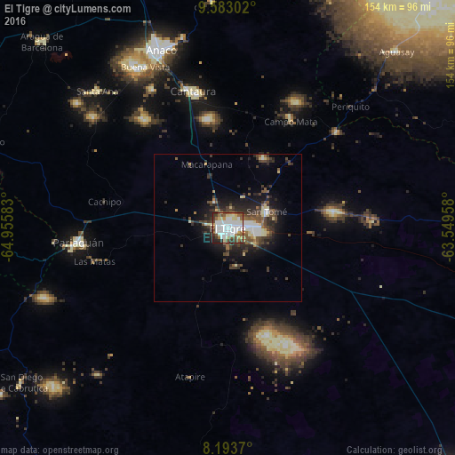
Analysis of El Tigre night lights 2016
Square area 10x10 km:
 34.42%
90-99
16.88%80-89
11.69%70-79
1.52%60-69
6.93%50-59
8.66%40-49
9.31%30-39
5.63%20-29
4.33%10-19
0.65%0-9
0%Square area 50x50 km:
2.05%90-99
1.56%80-89
1.45%70-79
0.32%60-69
0.71%50-59
1.79%40-49
2.31%30-39
2.67%20-29
3.54%10-19
5.59%0-9
78%Clear (daylight) street map image can be seen on geolist.org.
Map coordinates:
9° 34' 58.9" North, 64° 57' 21" West
8° 53' 20.5" North, 64° 15' 9.7" West
8° 11' 37.3" North, 63° 32' 58.5" West
Some cities around El Tigre sort by population:
• Barcelona
146.6 km =91.1 mi,  341°
341°
• Maturín
151.1 km =93.9 mi,  50°
50°
• Puerto La Cruz
153.1 km =95.1 mi, 344°
• Ciudad Bolívar
115.2 km =71.6 mi,  137°
137°
• Anaco
64.4 km =40 mi, 338°
• San José de Guanipa
9.6 km =6 mi,  91°
91°
• Zaraza
128.4 km =79.8 mi,  293°
293°
• Cantaura
47.8 km =29.7 mi,  345°
345°
3641351 (p: 150,999)
Sources (retrieved 2019-11-25):
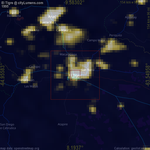
» NASA, Earths city lights 1995
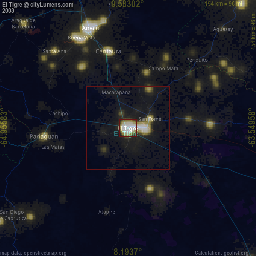
» NASA city lights 2003
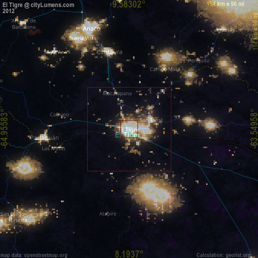
» Earth at Night: Flat Maps 2012, 2016