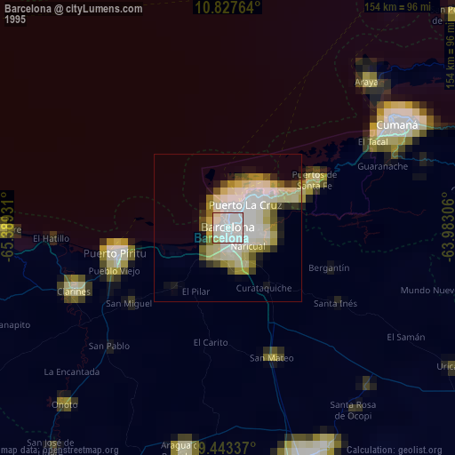
Barcelona night lights from space
Night Light of Barcelona (Anzoátegui) from space (Venezuela) Src. Average luminocity for 10x10km area is 84.3377% and for 50x50km: 22.7236%.
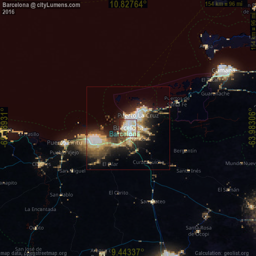
Analysis of Barcelona night lights 2016
Square area 10x10 km:
 28.57%
90-99
28.35%80-89
20.35%70-79
1.95%60-69
3.25%50-59
4.55%40-49
7.14%30-39
3.03%20-29
2.81%10-19
0%0-9
0%Square area 50x50 km:
3.51%90-99
3.81%80-89
5.78%70-79
1.76%60-69
2.11%50-59
2.34%40-49
4.16%30-39
3.93%20-29
5.52%10-19
9.72%0-9
57.36%Clear (daylight) street map image can be seen on geolist.org.
Map coordinates:
10° 49' 39.5" North, 65° 23' 21.5" West
10° 8' 10.5" North, 64° 41' 10.2" West
9° 26' 36.1" North, 63° 58' 59" West
Some cities around Barcelona sort by population:
• Puerto La Cruz
10.4 km =6.5 mi,  34°
34°
• Cumaná
65.4 km =40.6 mi,  57°
57°
• Anaco
82.3 km =51.1 mi,  162°
162°
• Porlamar
127.7 km =79.3 mi,  44°
44°
• Zaraza
111.9 km =69.5 mi,  218°
218°
• La Asunción
134.3 km =83.5 mi, 42°
• Cantaura
99.1 km =61.6 mi, 158°
• Juan Griego
131.4 km =81.6 mi, 36°
3648559 (p: 424,795)
Sources (retrieved 2019-11-25):
» NASA, Earths city lights 1995
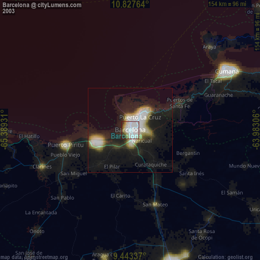
» NASA city lights 2003
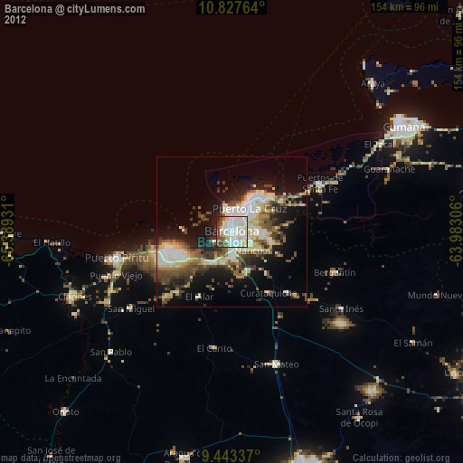
» Earth at Night: Flat Maps 2012, 2016