Ciudad Bolívar night lights from space
Night Light of Ciudad Bolívar (Bolívar) from space (Venezuela) Src. Average luminocity for 10x10km area is 80.6198% and for 50x50km: 9.1356%.
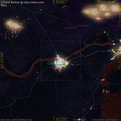
Analysis of Ciudad Bolívar night lights 2016
Square area 10x10 km:
 35.74%
90-99
21.49%80-89
11.78%70-79
1.24%60-69
6.4%50-59
5.58%40-49
5.37%30-39
5.37%20-29
5.99%10-19
1.03%0-9
0%Square area 50x50 km:
2.18%90-99
2.03%80-89
1.36%70-79
0.33%60-69
0.88%50-59
0.91%40-49
1.26%30-39
1.09%20-29
2%10-19
5.05%0-9
82.92%Clear (daylight) street map image can be seen on geolist.org.
Map coordinates:
8° 49' 28.8" North, 64° 14' 38.4" West
8° 7' 45.2" North, 63° 32' 27.1" West
7° 25' 57.3" North, 62° 50' 15.9" West
Some cities around Ciudad Bolívar sort by population:
• Maturín
184 km =114.3 mi,  12°
12°
• El Tigre
115.2 km =71.6 mi,  317°
317°
• Anaco
176.6 km =109.7 mi, 324°
• San José de Guanipa
108.7 km =67.5 mi, 320°
• Upata
125.6 km =78 mi,  95°
95°
• Tucupita
193.7 km =120.4 mi,  57°
57°
• Zaraza
238.4 km =148.1 mi,  304°
304°
• Cantaura
158.7 km =98.6 mi,  325°
325°
3645532 (p: 338,000)
Sources (retrieved 2019-11-25):
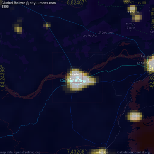
» NASA, Earths city lights 1995
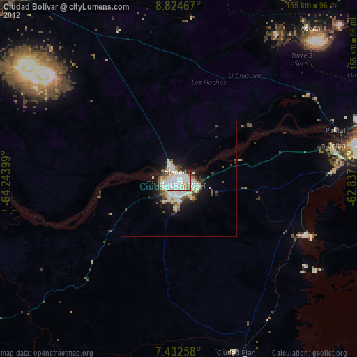
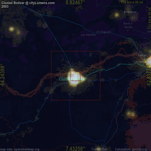
» NASA city lights 2003
» Earth at Night: Flat Maps 2012, 2016