Cantaura night lights from space
Night Light of Cantaura (Anzoátegui) from space (Venezuela) Src. Average luminocity for 10x10km area is 36.4603% and for 50x50km: 13.8915%.
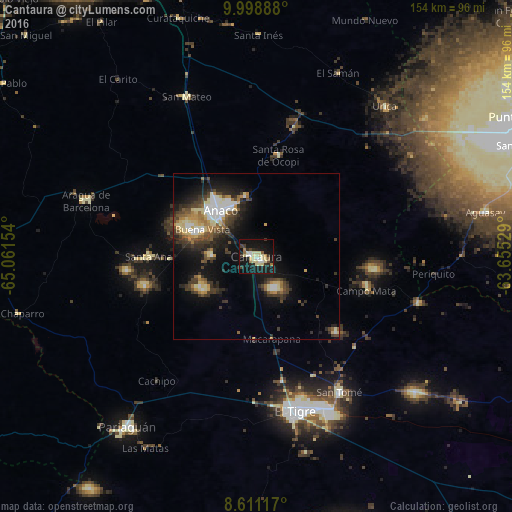
Analysis of Cantaura night lights 2016
Square area 10x10 km:
 2.95%
2.95%90-99
6.35%80-89
14.29%70-79
1.36%60-69
3.63%50-59
0.91%40-49
2.27%30-39
4.99%20-29
7.71%10-19
44.67%0-9
10.88%Square area 50x50 km:
1.63%90-99
1.77%80-89
2.61%70-79
1.23%60-69
1.56%50-59
1.47%40-49
2.56%30-39
3.27%20-29
3.81%10-19
10.5%0-9
69.6%Clear (daylight) street map image can be seen on geolist.org.
Map coordinates:
9° 59' 56" North, 65° 3' 41.5" West
9° 18' 20.6" North, 64° 21' 30.3" West
8° 36' 40.2" North, 63° 39' 19" West
Some cities around Cantaura sort by population:
• Barcelona
99.1 km =61.6 mi,  338°
338°
• Maturín
137.8 km =85.6 mi,  69°
69°
• Puerto La Cruz
105.4 km =65.5 mi, 343°
• Cumaná
129.1 km =80.2 mi,  8°
8°
• El Tigre
47.8 km =29.7 mi,  165°
165°
• Anaco
18 km =11.2 mi,  319°
319°
• San José de Guanipa
51.1 km =31.8 mi,  155°
155°
• Zaraza
106.1 km =65.9 mi,  272°
272°
3646869 (p: 33,040)
Sources (retrieved 2019-11-25):
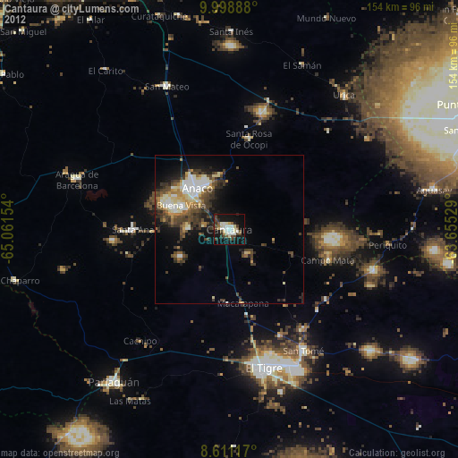
» Earth at Night: Flat Maps 2012, 2016