Anaco night lights from space
Night Light of Anaco (Anzoátegui) from space (Venezuela) Src. Average luminocity for 10x10km area is 79.4545% and for 50x50km: 15.0377%.
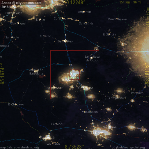
Analysis of Anaco night lights 2016
Square area 10x10 km:
 27.49%
90-99
23.38%80-89
12.12%70-79
3.68%60-69
9.96%50-59
5.41%40-49
8.23%30-39
6.28%20-29
3.25%10-19
0.22%0-9
0%Square area 50x50 km:
1.6%90-99
1.79%80-89
2.99%70-79
1.33%60-69
1.65%50-59
1.61%40-49
2.76%30-39
3.8%20-29
4.44%10-19
11.58%0-9
66.47%Clear (daylight) street map image can be seen on geolist.org.
Map coordinates:
10° 7' 21" North, 65° 10' 2.7" West
9° 25' 46.5" North, 64° 27' 51.4" West
8° 44' 7" North, 63° 45' 40.2" West
Some cities around Anaco sort by population:
• Barcelona
82.3 km =51.1 mi,  342°
342°
• Maturín
144.8 km =90 mi,  75°
75°
• Puerto La Cruz
89.1 km =55.4 mi,  348°
348°
• Cumaná
118 km =73.3 mi,  15°
15°
• El Tigre
64.4 km =40 mi,  158°
158°
• San José de Guanipa
68.7 km =42.7 mi,  151°
151°
• Zaraza
94.8 km =58.9 mi,  264°
264°
• Cantaura
18 km =11.2 mi,  139°
139°
3486270 (p: 117,596)
Sources (retrieved 2019-11-25):
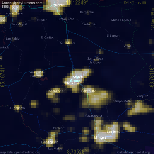
» NASA, Earths city lights 1995
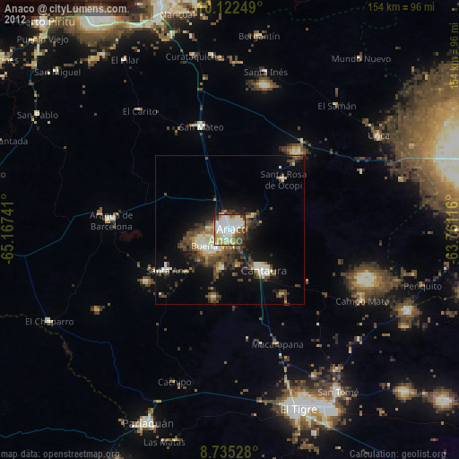
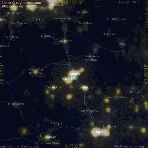
» NASA city lights 2003
» Earth at Night: Flat Maps 2012, 2016