Zaraza night lights from space
Night Light of Zaraza (Guárico) from space (Venezuela) Src. Average luminocity for 10x10km area is 20.474% and for 50x50km: 0.9248%.
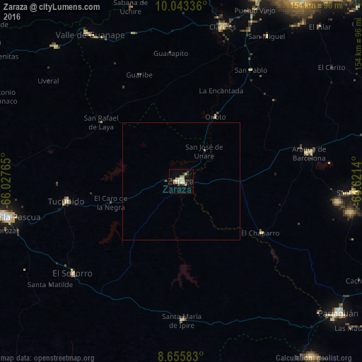
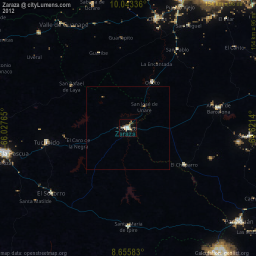
Analysis of Zaraza night lights 2016
Square area 10x10 km:
 1.73%
1.73%90-99
1.95%80-89
7.58%70-79
2.6%60-69
0.87%50-59
1.73%40-49
1.08%30-39
4.55%20-29
2.16%10-19
6.49%0-9
69.26%Square area 50x50 km:
0.07%90-99
0.08%80-89
0.3%70-79
0.14%60-69
0.03%50-59
0.1%40-49
0.04%30-39
0.18%20-29
0.08%10-19
0.25%0-9
98.73%Clear (daylight) street map image can be seen on geolist.org.
Map coordinates:
10° 2' 36.1" North, 66° 1' 39.5" West
9° 21' 1" North, 65° 19' 28.3" West
8° 39' 21" North, 64° 37' 17" West
Some cities around Zaraza sort by population:
• Barcelona
111.9 km =69.5 mi,  38°
38°
• Puerto La Cruz
122.3 km =76 mi, 38°
• El Tigre
128.4 km =79.8 mi,  113°
113°
• Anaco
94.8 km =58.9 mi,  84°
84°
• Valle de La Pascua
76.4 km =47.5 mi,  258°
258°
• San José de Guanipa
137.3 km =85.3 mi, 112°
• Altagracia de Orituco
129 km =80.2 mi,  296°
296°
• Cantaura
106.1 km =65.9 mi,  92°
92°
3625066 (p: 41,483)
Sources (retrieved 2019-11-25):
» Earth at Night: Flat Maps 2012, 2016