Tŭytepa night lights from space
Night Light of Tŭytepa (Toshkent) from space (Uzbekistan) Src. Average luminocity for 10x10km area is 22.5816% and for 50x50km: 15.4576%.
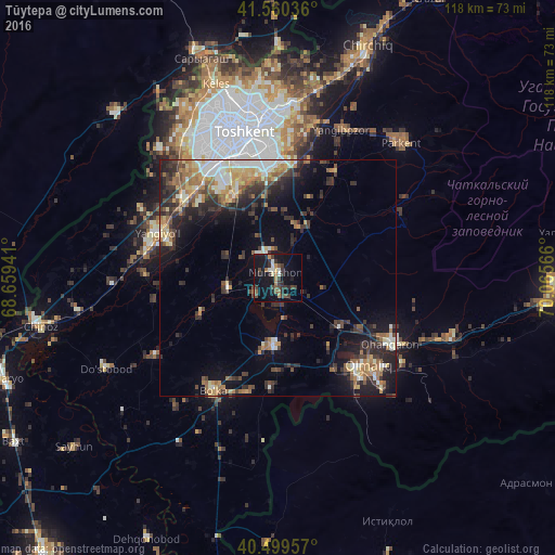
Analysis of Tŭytepa night lights 2016
Square area 10x10 km:
 1.19%
1.19%90-99
2.89%80-89
1.36%70-79
2.72%60-69
2.72%50-59
2.72%40-49
4.25%30-39
9.01%20-29
6.12%10-19
29.76%0-9
37.24%Square area 50x50 km:
1.6%90-99
2.38%80-89
1.69%70-79
1.87%60-69
2.75%50-59
1.9%40-49
2.24%30-39
4.12%20-29
4.71%10-19
8.26%0-9
68.48%Clear (daylight) street map image can be seen on geolist.org.
Map coordinates:
41° 33' 37.3" North, 68° 39' 33.9" East
41° 1' 55.6" North, 69° 21' 45.1" East
40° 29' 58.5" North, 70° 3' 56.4" East
Some cities around Tŭytepa sort by population:
• Tashkent
28.6 km =17.8 mi,  334°
334°
• Olmaliq
28.7 km =17.8 mi,  136°
136°
• Yangiyŭl
27.9 km =17.3 mi,  288°
288°
• Ohangaron
27 km =16.8 mi,  121°
121°
• Piskent
15 km =9.3 mi,  183°
183°
• Bektemir
19.9 km =12.4 mi,  353°
353°
• Bo‘ka
28.4 km =17.6 mi,  209°
209°
• Ŭrtaowul
25 km =15.5 mi,  313°
313°
1512524 (p: 20,682)
Sources (retrieved 2019-11-25):
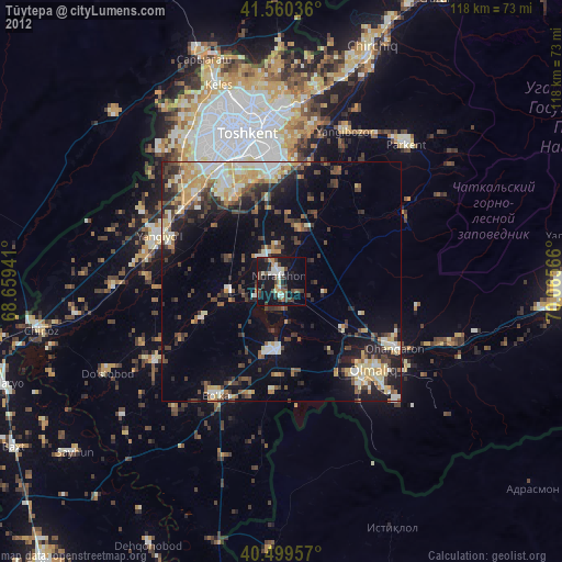
» Earth at Night: Flat Maps 2012, 2016