Ohangaron night lights from space
Night Light of Ohangaron (Toshkent) from space (Uzbekistan) Src. Average luminocity for 10x10km area is 33.4558% and for 50x50km: 5.9028%.
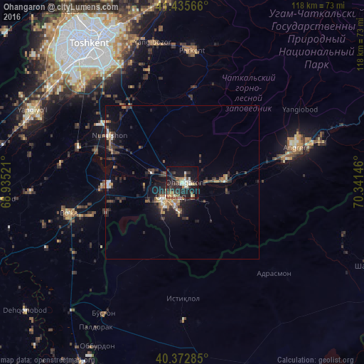
Analysis of Ohangaron night lights 2016
Square area 10x10 km:
 3.4%
3.4%90-99
6.46%80-89
2.38%70-79
2.72%60-69
5.27%50-59
3.57%40-49
4.93%30-39
9.35%20-29
15.65%10-19
32.82%0-9
13.44%Square area 50x50 km:
0.43%90-99
0.7%80-89
0.41%70-79
0.57%60-69
0.91%50-59
0.77%40-49
1.02%30-39
1.84%20-29
2.07%10-19
4.55%0-9
86.73%Clear (daylight) street map image can be seen on geolist.org.
Map coordinates:
41° 26' 8.4" North, 68° 56' 6.8" East
40° 54' 23" North, 69° 38' 18" East
40° 22' 22.3" North, 70° 20' 29.3" East
Some cities around Ohangaron sort by population:
• Olmaliq
7.6 km =4.7 mi,  206°
206°
• Parkent
43.3 km =26.9 mi,  4°
4°
• Piskent
24.2 km =15 mi,  267°
267°
• Bektemir
42.3 km =26.3 mi,  322°
322°
• Tŭytepa
27 km =16.8 mi,  301°
301°
• Bo‘ka
38.8 km =24.1 mi,  254°
254°
• Adrasmon, TJ
40.8 km =25.4 mi,  134°
134°
• Taboshar, TJ
37.4 km =23.2 mi,  179°
179°
1513072 (p: 35,516)
Sources (retrieved 2019-11-25):
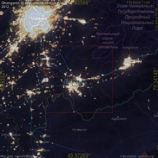
» Earth at Night: Flat Maps 2012, 2016