Piskent night lights from space
Night Light of Piskent (Toshkent) from space (Uzbekistan) Src. Average luminocity for 10x10km area is 15.6003% and for 50x50km: 7.7381%.
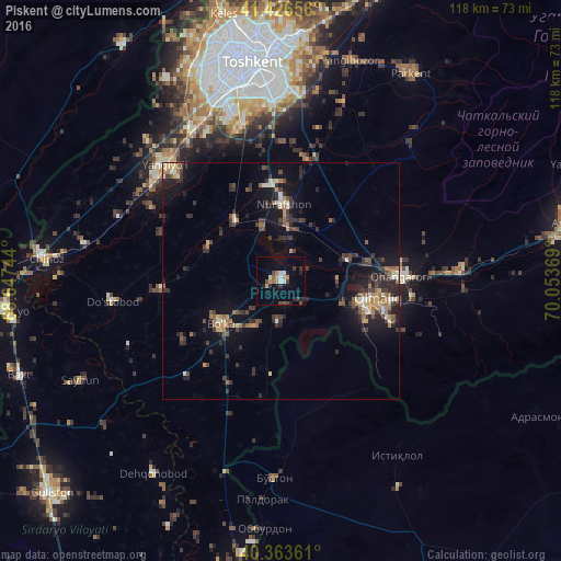
Analysis of Piskent night lights 2016
Square area 10x10 km:
 1.7%
1.7%90-99
1.7%80-89
0.68%70-79
2.21%60-69
2.72%50-59
1.19%40-49
2.38%30-39
3.23%20-29
3.57%10-19
5.1%0-9
75.51%Square area 50x50 km:
0.39%90-99
0.74%80-89
0.72%70-79
0.73%60-69
1.32%50-59
1.03%40-49
1.35%30-39
2.42%20-29
2.66%10-19
5.72%0-9
82.92%Clear (daylight) street map image can be seen on geolist.org.
Map coordinates:
41° 25' 35.6" North, 68° 38' 50.8" East
40° 53' 50" North, 69° 21' 2" East
40° 21' 49" North, 70° 3' 13.3" East
Some cities around Piskent sort by population:
• Olmaliq
21.6 km =13.4 mi,  105°
105°
• Yangiyŭl
34.9 km =21.7 mi,  313°
313°
• Ohangaron
24.2 km =15 mi,  87°
87°
• Bektemir
34.8 km =21.6 mi,  357°
357°
• Tŭytepa
15 km =9.3 mi,  3°
3°
• Bo‘ka
16.3 km =10.1 mi,  233°
233°
• Ŭrtaowul
36.5 km =22.7 mi,  331°
331°
• Amir Timur
37 km =23 mi,  291°
291°
1512986 (p: 27,865)
Sources (retrieved 2019-11-25):
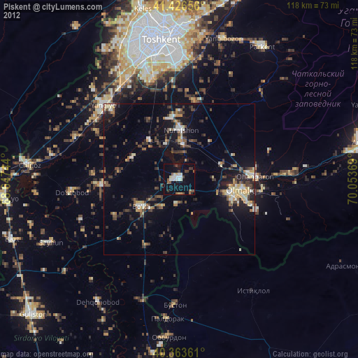
» Earth at Night: Flat Maps 2012, 2016