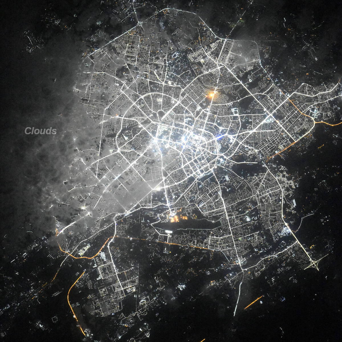
Tashkent night lights from space
Night Light of Tashkent (Toshkent Shahri) from space (Uzbekistan) Src. Average luminocity for 10x10km area is 96.6347% and for 50x50km: 34.3861%.
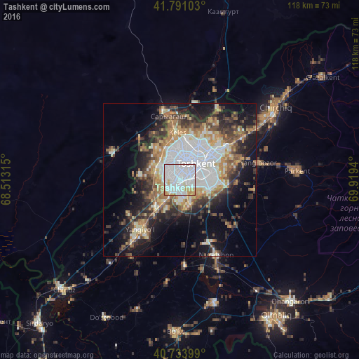
Analysis of Tashkent night lights 2016
Square area 10x10 km:
 65.75%
90-99
21.27%80-89
6.17%70-79
5.52%60-69
1.3%50-59
0%40-49
0%30-39
0%20-29
0%10-19
0%0-9
0%Square area 50x50 km:
9.52%90-99
6.03%80-89
3.45%70-79
3.7%60-69
4.69%50-59
4.03%40-49
4.03%30-39
5.9%20-29
6.98%10-19
11.91%0-9
39.76%Clear (daylight) street map image can be seen on geolist.org.
Map coordinates:
41° 47' 27.7" North, 68° 30' 47.3" East
41° 15' 52.7" North, 69° 12' 58.6" East
40° 44' 2.4" North, 69° 55' 9.8" East
Fantastic image of Tashkent from space taken by astronauts [src2], but I don't have information about it's orientation, scale or angle. If necessary, it was rotated manually, so North points approximately to upper direction. Click to zoom in:
Some cities around Tashkent sort by population:
• YangiyĹl
22.1 km =13.7 mi,  219°
219°
• Qibray
25 km =15.5 mi,  56°
56°
• Salor
18.3 km =11.4 mi,  49°
49°
• Bektemir
11.6 km =7.2 mi,  121°
121°
• Saryaghash, KZ
22.1 km =13.7 mi,  349°
349°
• TĹytepa
28.6 km =17.8 mi,  154°
154°
• Ŭrtaowul
10.5 km =6.5 mi,  214°
214°
• Amir Timur
35.7 km =22.2 mi, 220°
1512569 (p: 1,978,028)
Sources (retrieved 2019-11-25):
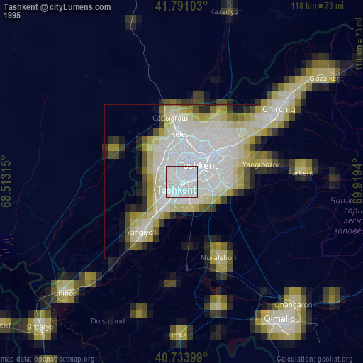
» NASA, Earths city lights 1995
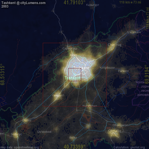
» NASA city lights 2003
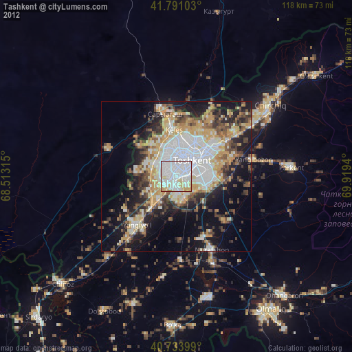
» Earth at Night: Flat Maps 2012, 2016
Src.2: picture by Oleg Kononenko, Roscosmos, retrieved 2019-11-29