Kogon night lights from space
Night Light of Kogon (Bukhara) from space (Uzbekistan) Src. Average luminocity for 10x10km area is 25.4724% and for 50x50km: 5.9086%.
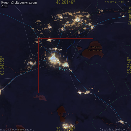
Analysis of Kogon night lights 2016
Square area 10x10 km:
 2.6%
2.6%90-99
1.3%80-89
7.63%70-79
2.27%60-69
2.11%50-59
3.57%40-49
1.3%30-39
5.52%20-29
5.84%10-19
32.31%0-9
35.55%Square area 50x50 km:
0.51%90-99
0.78%80-89
1.42%70-79
0.5%60-69
0.53%50-59
0.67%40-49
0.76%30-39
1.35%20-29
1.66%10-19
4.61%0-9
87.22%Clear (daylight) street map image can be seen on geolist.org.
Map coordinates:
40° 15' 41.3" North, 63° 50' 54.8" East
39° 43' 22" North, 64° 33' 6" East
39° 10' 47.5" North, 65° 15' 17.3" East
Some cities around Kogon sort by population:
• Bukhara
12 km =7.5 mi,  298°
298°
• Ghijduwon
43.4 km =27 mi,  14°
14°
• Shofirkon
44.4 km =27.6 mi,  354°
354°
• Wobkent
34.3 km =21.3 mi, 354°
• Galaosiyo
17.4 km =10.8 mi,  329°
329°
• Qiziltepa
42.9 km =26.7 mi,  36°
36°
• Romiton
27.3 km =17 mi, 327°
• Qorovulbozor
32.2 km =20 mi,  140°
140°
1217180 (p: 62,620)
Sources (retrieved 2019-11-25):
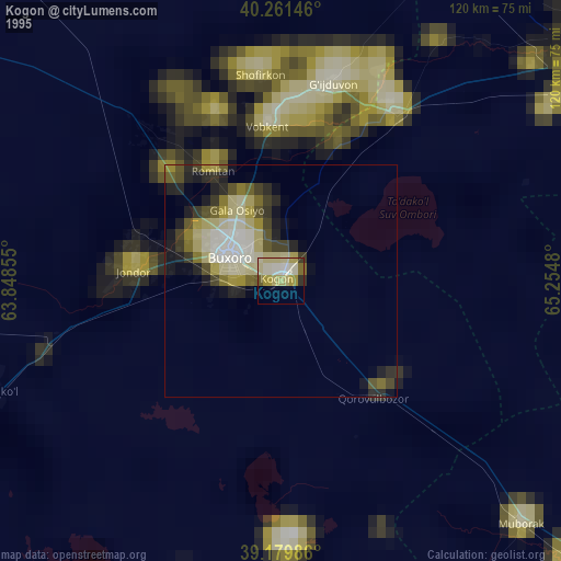
» NASA, Earths city lights 1995
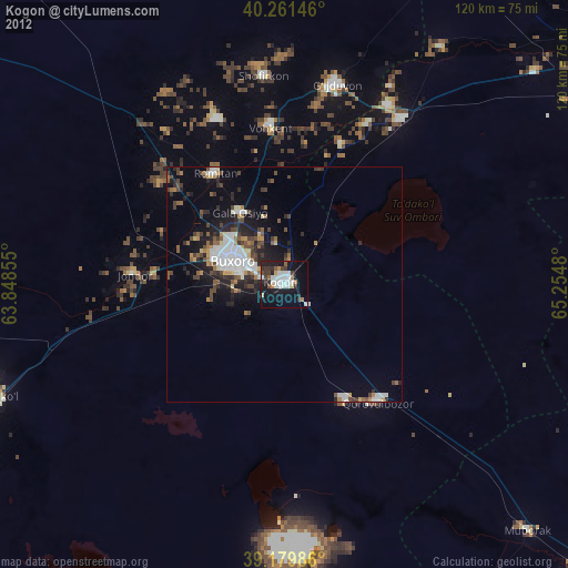
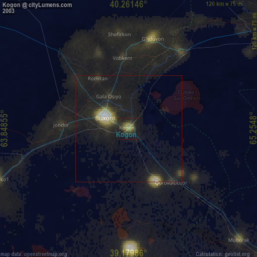
» NASA city lights 2003
» Earth at Night: Flat Maps 2012, 2016