Shofirkon night lights from space
Night Light of Shofirkon (Bukhara) from space (Uzbekistan) Src. Average luminocity for 10x10km area is 18.5568% and for 50x50km: 6.8681%.
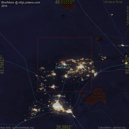
Analysis of Shofirkon night lights 2016
Square area 10x10 km:
 0.32%
0.32%90-99
0.32%80-89
0.97%70-79
1.3%60-69
1.79%50-59
3.57%40-49
7.31%30-39
9.74%20-29
5.68%10-19
13.15%0-9
55.84%Square area 50x50 km:
0.1%90-99
0.24%80-89
0.68%70-79
0.44%60-69
0.86%50-59
1.42%40-49
2.05%30-39
2.98%20-29
2.68%10-19
6.11%0-9
82.45%Clear (daylight) street map image can be seen on geolist.org.
Map coordinates:
40° 39' 20" North, 63° 47' 53.8" East
40° 7' 12" North, 64° 30' 5" East
39° 34' 48.7" North, 65° 12' 16.3" East
Some cities around Shofirkon sort by population:
• Bukhara
38.9 km =24.2 mi,  189°
189°
• Kogon
44.4 km =27.6 mi,  174°
174°
• Ghijduwon
15.6 km =9.7 mi,  98°
98°
• Wobkent
10 km =6.2 mi, 173°
• Galaosiyo
29.5 km =18.3 mi, 188°
• Qiziltepa
31.2 km =19.4 mi,  108°
108°
• Romiton
23.6 km =14.7 mi,  206°
206°
• Qorovulbozor
73.3 km =45.5 mi,  160°
160°
1512838 (p: 26,527)
Sources (retrieved 2019-11-25):
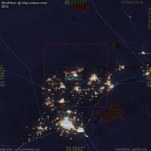
» Earth at Night: Flat Maps 2012, 2016