Zuni Pueblo night lights from space
Night Light of Zuni Pueblo (New Mexico) from space (United States) Src. Average luminocity for 10x10km area is 16.2955% and for 50x50km: 0.8047%.
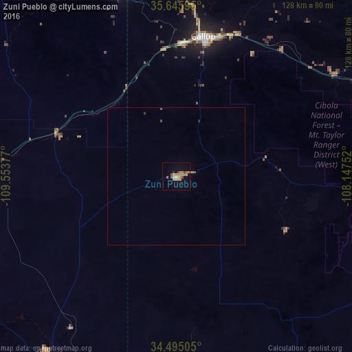
Analysis of Zuni Pueblo night lights 2016
Square area 10x10 km:
 0.35%
0.35%90-99
0.35%80-89
2.8%70-79
6.99%60-69
3.5%50-59
2.1%40-49
0.7%30-39
1.22%20-29
0.17%10-19
4.37%0-9
77.45%Square area 50x50 km:
0.01%90-99
0.01%80-89
0.11%70-79
0.31%60-69
0.17%50-59
0.14%40-49
0.06%30-39
0.08%20-29
0.04%10-19
0.18%0-9
98.9%Clear (daylight) street map image can be seen on geolist.org.
Map coordinates:
35° 38' 45.4" North, 109° 33' 13.6" West
35° 4' 21.1" North, 108° 51' 2.3" West
34° 29' 42.2" North, 108° 8' 51.1" West
Some cities around Zuni Pueblo sort by population:
• Gallup
51.6 km =32.1 mi,  10°
10°
• Show Low
141.1 km =87.7 mi,  229°
229°
• Winslow
168.2 km =104.5 mi,  268°
268°
• Grants
91.2 km =56.7 mi,  84°
84°
• Shiprock
191 km =118.7 mi,  4°
4°
• Kirtland
190 km =118.1 mi, 13°
• Snowflake
128.2 km =79.7 mi,  240°
240°
• Holbrook
120.6 km =74.9 mi,  260°
260°
5499004 (p: 6,302)
Sources (retrieved 2019-11-25):
» Earth at Night: Flat Maps 2012, 2016