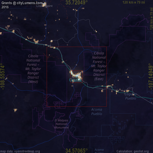
Grants night lights from space
Night Light of Grants (New Mexico) from space (United States) Src. Average luminocity for 10x10km area is 35.6941% and for 50x50km: 2.1207%.
Analysis of Grants night lights 2016
Square area 10x10 km:
 5.07%
5.07%90-99
6.99%80-89
2.1%70-79
10.84%60-69
1.92%50-59
1.57%40-49
3.5%30-39
8.22%20-29
3.15%10-19
41.61%0-9
15.03%Square area 50x50 km:
0.2%90-99
0.28%80-89
0.09%70-79
0.55%60-69
0.11%50-59
0.2%40-49
0.37%30-39
0.47%20-29
0.28%10-19
2.07%0-9
95.38%Clear (daylight) street map image can be seen on geolist.org.
Map coordinates:
35° 43' 13.8" North, 108° 33' 20.7" West
35° 8' 51.4" North, 107° 51' 9.4" West
34° 34' 14.3" North, 107° 8' 58.2" West
Some cities around Grants sort by population:
• Albuquerque
109.5 km =68 mi,  93°
93°
• Rio Rancho
108.4 km =67.4 mi,  84°
84°
• South Valley
108 km =67.1 mi,  98°
98°
• Gallup
91.1 km =56.6 mi,  297°
297°
• Los Lunas
108.8 km =67.6 mi,  110°
110°
• Zuni Pueblo
91.2 km =56.7 mi,  264°
264°
• Los Ranchos de Albuquerque
110 km =68.4 mi, 89°
• Lee Acres
109.6 km =68.1 mi, 89°
5469841 (p: 9,239)
Sources (retrieved 2019-11-25):
» Earth at Night: Flat Maps 2012, 2016