Winslow night lights from space
Night Light of Winslow (Arizona) from space (United States) Src. Average luminocity for 10x10km area is 16.6801% and for 50x50km: 0.7069%.
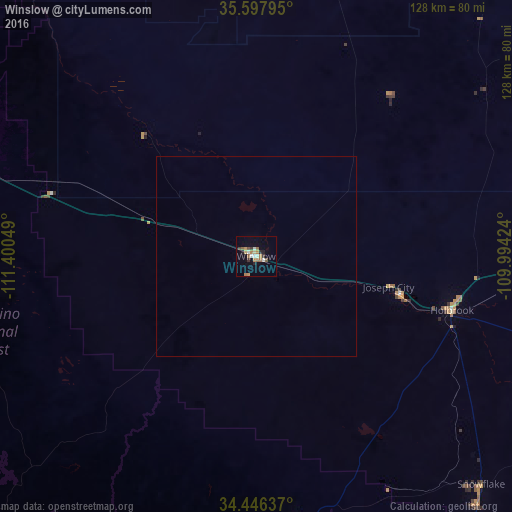
Analysis of Winslow night lights 2016
Square area 10x10 km:
 1.22%
1.22%90-99
2.97%80-89
1.22%70-79
2.8%60-69
4.2%50-59
2.27%40-49
1.05%30-39
2.45%20-29
2.45%10-19
3.67%0-9
75.7%Square area 50x50 km:
0.05%90-99
0.12%80-89
0.05%70-79
0.11%60-69
0.17%50-59
0.09%40-49
0.04%30-39
0.1%20-29
0.1%10-19
0.15%0-9
99.02%Clear (daylight) street map image can be seen on geolist.org.
Map coordinates:
35° 35' 52.6" North, 111° 24' 1.8" West
35° 1' 27.1" North, 110° 41' 50.5" West
34° 26' 46.9" North, 109° 59' 39.3" West
Some cities around Winslow sort by population:
• Flagstaff
88.9 km =55.2 mi,  282°
282°
• West Sedona
102.5 km =63.7 mi,  260°
260°
• Show Low
105.2 km =65.4 mi,  144°
144°
• Sedona
98.4 km =61.1 mi, 259°
• Big Park
100.9 km =62.7 mi,  254°
254°
• Village of Oak Creek (Big Park)
100.8 km =62.6 mi, 254°
• Snowflake
80.1 km =49.8 mi, 135°
• Holbrook
51 km =31.7 mi,  105°
105°
5321473 (p: 9,600)
Sources (retrieved 2019-11-25):
» Earth at Night: Flat Maps 2012, 2016