Holbrook night lights from space
Night Light of Holbrook (Arizona) from space (United States) Src. Average luminocity for 10x10km area is 12.3608% and for 50x50km: 0.8135%.
Analysis of Holbrook night lights 2016
Square area 10x10 km:
 0%
0%90-99
0.73%80-89
0.73%70-79
4.95%60-69
3.85%50-59
1.65%40-49
2.01%30-39
1.28%20-29
0.92%10-19
0.73%0-9
83.15%Square area 50x50 km:
0.02%90-99
0.03%80-89
0.03%70-79
0.33%60-69
0.22%50-59
0.1%40-49
0.12%30-39
0.1%20-29
0.1%10-19
0.07%0-9
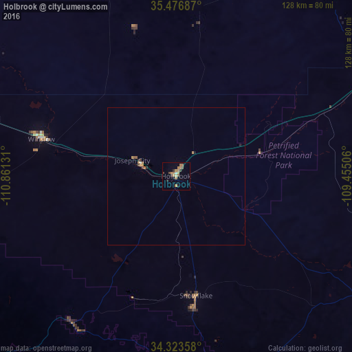
98.89%Clear (daylight) street map image can be seen on geolist.org.
Map coordinates:
35° 28' 36.7" North, 110° 51' 40.7" West
34° 54' 8.1" North, 110° 9' 29.4" West
34° 19' 24.9" North, 109° 27' 18.2" West
Some cities around Holbrook sort by population:
• Flagstaff
139.8 km =86.9 mi,  283°
283°
• Gallup
146.2 km =90.8 mi,  61°
61°
• Payson
130.3 km =81 mi,  235°
235°
• Show Low
73 km =45.4 mi,  170°
170°
• Sedona
146.2 km =90.8 mi,  268°
268°
• Winslow
51 km =31.7 mi,  285°
285°
• Zuni Pueblo
120.6 km =74.9 mi,  80°
80°
• Snowflake
43.8 km =27.2 mi, 170°
5284580 (p: 5,019)
Sources (retrieved 2019-11-25):
» Earth at Night: Flat Maps 2012, 2016