Yuma night lights from space
Night Light of Yuma (Arizona) from space (United States) Src. Average luminocity for 10x10km area is 56.1031% and for 50x50km: 10.7282%.
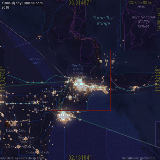
Analysis of Yuma night lights 2016
Square area 10x10 km:
 19.06%
90-99
13.99%80-89
5.77%70-79
1.92%60-69
6.29%50-59
6.29%40-49
4.37%30-39
4.72%20-29
12.24%10-19
19.06%0-9
6.29%Square area 50x50 km:
1.5%90-99
1.4%80-89
0.56%70-79
0.38%60-69
2.42%50-59
2.12%40-49
1.87%30-39
2.05%20-29
3.18%10-19
8.25%0-9
76.27%Clear (daylight) street map image can be seen on geolist.org.
Map coordinates:
33° 18' 53.5" North, 115° 19' 39.1" West
32° 43' 31.2" North, 114° 37' 27.8" West
32° 7' 54.6" North, 113° 55' 16.6" West
Some cities around Yuma sort by population:
• San Luis Río Colorado, MX
33 km =20.5 mi,  204°
204°
• San Luis
30.3 km =18.8 mi,  209°
209°
• Fortuna Foothills
21.3 km =13.2 mi,  110°
110°
• Guadalupe Victoria, MX
66.2 km =41.1 mi,  222°
222°
• Somerton
16.4 km =10.2 mi, 209°
• Tecolots, MX
38 km =23.6 mi,  242°
242°
• Delta, MX
67.6 km =42 mi,  232°
232°
• Hermosillo, MX
36.7 km =22.8 mi, 229°
5322053 (p: 94,139)
Sources (retrieved 2019-11-25):
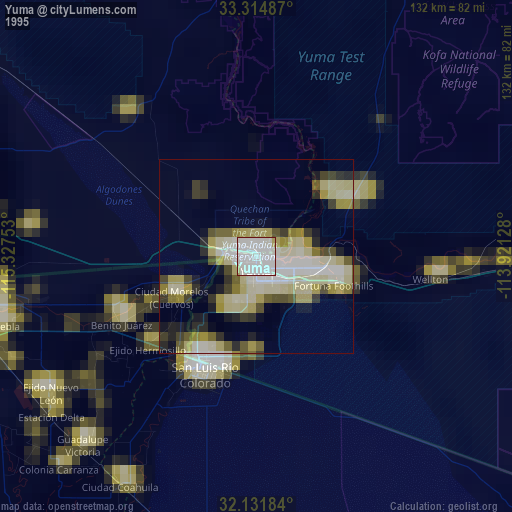
» NASA, Earths city lights 1995
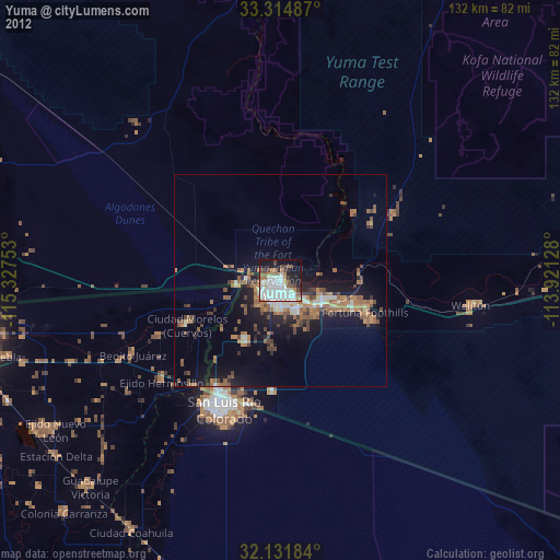
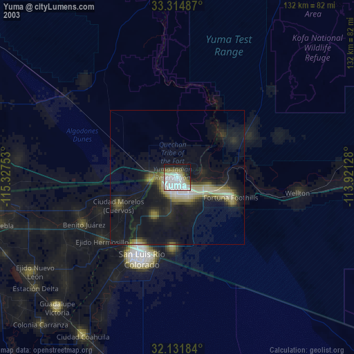
» NASA city lights 2003
» Earth at Night: Flat Maps 2012, 2016