Fortuna Foothills night lights from space
Night Light of Fortuna Foothills (Arizona) from space (United States) Src. Average luminocity for 10x10km area is 28.5052% and for 50x50km: 8.7081%.
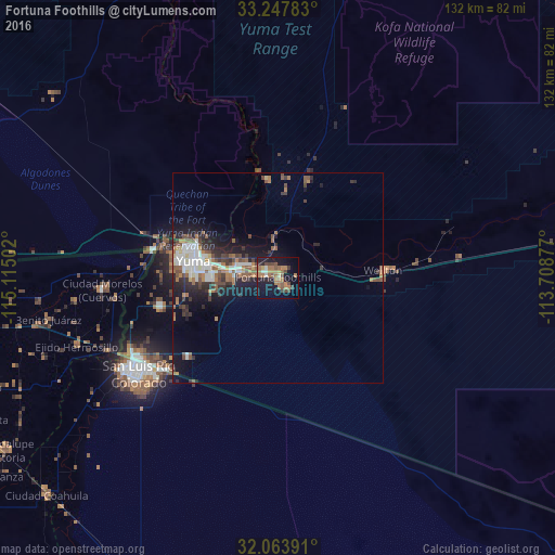
Analysis of Fortuna Foothills night lights 2016
Square area 10x10 km:
 1.4%
1.4%90-99
1.4%80-89
1.05%70-79
2.1%60-69
14.69%50-59
6.64%40-49
5.77%30-39
2.62%20-29
3.32%10-19
30.24%0-9
30.77%Square area 50x50 km:
1.44%90-99
1.27%80-89
0.53%70-79
0.35%60-69
2.05%50-59
1.74%40-49
1.32%30-39
1.5%20-29
2.29%10-19
5.73%0-9
81.78%Clear (daylight) street map image can be seen on geolist.org.
Map coordinates:
33° 14' 52.2" North, 115° 6' 54.1" West
32° 39' 28.2" North, 114° 24' 42.8" West
32° 3' 50.1" North, 113° 42' 31.6" West
Some cities around Fortuna Foothills sort by population:
• San Luis Río Colorado, MX
40.5 km =25.2 mi,  236°
236°
• Yuma
21.3 km =13.2 mi,  290°
290°
• San Luis
39.6 km =24.6 mi, 241°
• Somerton
28.7 km =17.8 mi,  256°
256°
• Estación Coahuila, MX
75.6 km =47 mi,  226°
226°
• Ciudad Coahuila (Kilómetro Cincuenta y Siete), MX
75.6 km =47 mi, 227°
• Tecolots, MX
54.5 km =33.9 mi, 259°
• Hermosillo, MX
50.6 km =31.4 mi,  251°
251°
5295143 (p: 26,265)
Sources (retrieved 2019-11-25):
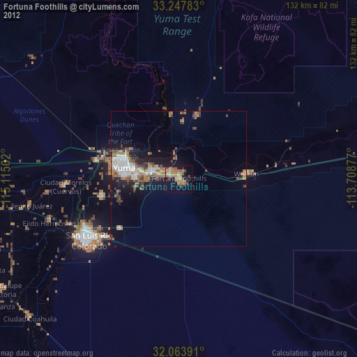
» Earth at Night: Flat Maps 2012, 2016