San Luis night lights from space
Night Light of San Luis (Arizona) from space (United States) Src. Average luminocity for 10x10km area is 57.359% and for 50x50km: 11.636%.
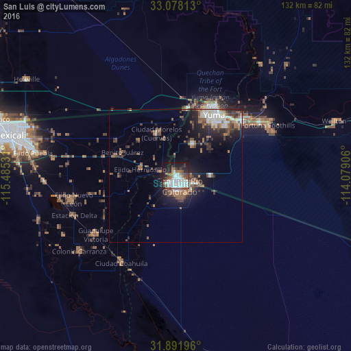
Analysis of San Luis night lights 2016
Square area 10x10 km:
 18.13%
90-99
17.22%80-89
0.92%70-79
2.75%60-69
6.96%50-59
7.14%40-49
7.33%30-39
4.76%20-29
13%10-19
19.96%0-9
1.83%Square area 50x50 km:
2.06%90-99
1.9%80-89
0.5%70-79
0.34%60-69
2.32%50-59
2.48%40-49
1.96%30-39
2.17%20-29
2.98%10-19
6.61%0-9
76.67%Clear (daylight) street map image can be seen on geolist.org.
Map coordinates:
33° 4' 41.3" North, 115° 29' 7.1" West
32° 29' 13.2" North, 114° 46' 55.8" West
31° 53' 31.1" North, 114° 4' 44.6" West
Some cities around San Luis sort by population:
• Yuma
30.3 km =18.8 mi,  29°
29°
• Fortuna Foothills
39.6 km =24.6 mi,  61°
61°
• Guadalupe Victoria, MX
37.5 km =23.3 mi,  234°
234°
• Somerton
13.9 km =8.6 mi, 29°
• Estación Coahuila, MX
38.5 km =23.9 mi,  211°
211°
• Ciudad Coahuila (Kilómetro Cincuenta y Siete), MX
38.5 km =23.9 mi, 212°
• Tecolots, MX
20.8 km =12.9 mi,  295°
295°
• Hermosillo, MX
13.5 km =8.4 mi,  281°
281°
5312913 (p: 31,520)
Sources (retrieved 2019-11-25):
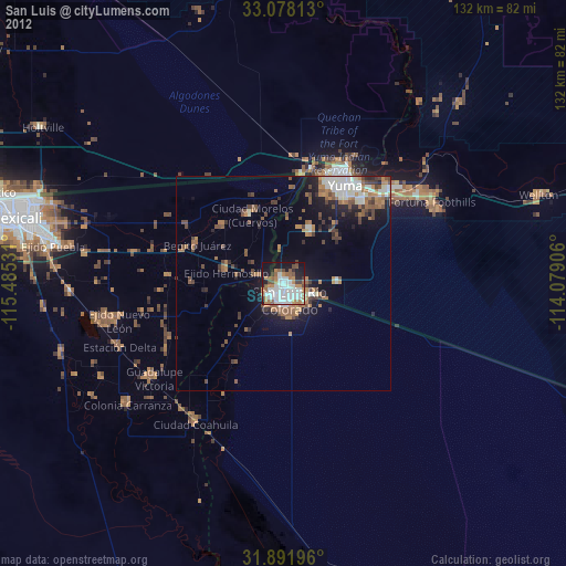
» Earth at Night: Flat Maps 2012, 2016