Ypsilanti night lights from space
Night Light of Ypsilanti (Michigan) from space (United States) Src. Average luminocity for 10x10km area is 70.4652% and for 50x50km: 36.124%.
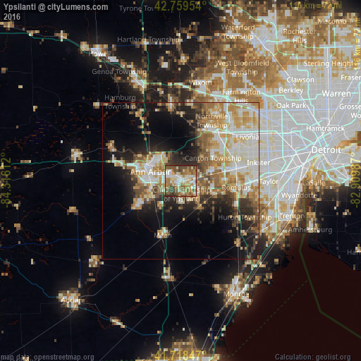
Analysis of Ypsilanti night lights 2016
Square area 10x10 km:
 12.12%
90-99
15.76%80-89
9.55%70-79
10.61%60-69
16.67%50-59
16.82%40-49
9.39%30-39
5.45%20-29
3.64%10-19
0%0-9
0%Square area 50x50 km:
6.01%90-99
8.33%80-89
4.81%70-79
5.49%60-69
5.96%50-59
4.82%40-49
4.43%30-39
3.48%20-29
7.1%10-19
11.31%0-9
38.27%Clear (daylight) street map image can be seen on geolist.org.
Map coordinates:
42° 45' 34.3" North, 84° 18' 58" West
42° 14' 28.1" North, 83° 36' 46.8" West
41° 43' 6.5" North, 82° 54' 35.5" West
Some cities around Ypsilanti sort by population:
• Ann Arbor
11.3 km =7 mi,  291°
291°
• Canton
13.1 km =8.1 mi,  55°
55°
• Westland
19.8 km =12.3 mi, 62°
• Romulus
17.9 km =11.1 mi,  96°
96°
• Wayne
19.2 km =11.9 mi,  76°
76°
• Saline
16.2 km =10.1 mi,  239°
239°
• Plymouth
18.6 km =11.6 mi,  39°
39°
• Milan
18.2 km =11.3 mi,  198°
198°
5015688 (p: 19,945)
Sources (retrieved 2019-11-25):
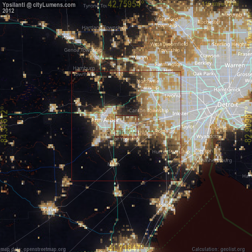
» Earth at Night: Flat Maps 2012, 2016