Romulus night lights from space
Night Light of Romulus (Michigan) from space (United States) Src. Average luminocity for 10x10km area is 70.9409% and for 50x50km: 54.234%.
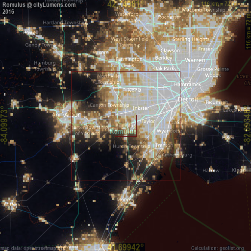
Analysis of Romulus night lights 2016
Square area 10x10 km:
 13.03%
90-99
14.85%80-89
10%70-79
16.52%60-69
16.97%50-59
9.09%40-49
7.88%30-39
6.82%20-29
4.85%10-19
0%0-9
0%Square area 50x50 km:
18.21%90-99
14.29%80-89
5.66%70-79
5.74%60-69
5.64%50-59
5.25%40-49
4.08%30-39
3.72%20-29
6.84%10-19
8.89%0-9
21.68%Clear (daylight) street map image can be seen on geolist.org.
Map coordinates:
42° 44' 26.9" North, 84° 5' 59" West
42° 13' 20.1" North, 83° 23' 47.8" West
41° 41' 57.9" North, 82° 41' 36.5" West
Some cities around Romulus sort by population:
• Canton
11.9 km =7.4 mi,  323°
323°
• Westland
11.3 km =7 mi,  358°
358°
• Taylor
10.7 km =6.6 mi,  78°
78°
• Allen Park
15.8 km =9.8 mi, 75°
• Garden City
12.7 km =7.9 mi,  25°
25°
• Inkster
10.7 km =6.6 mi,  41°
41°
• Wayne
6.6 km =4.1 mi,  7°
7°
• Woodhaven
15.8 km =9.8 mi,  125°
125°
5007531 (p: 23,417)
Sources (retrieved 2019-11-25):
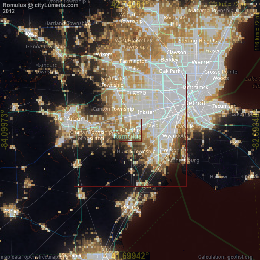
» Earth at Night: Flat Maps 2012, 2016