Yakima night lights from space
Night Light of Yakima (Washington) from space (United States) Src. Average luminocity for 10x10km area is 69.8892% and for 50x50km: 7.3584%.
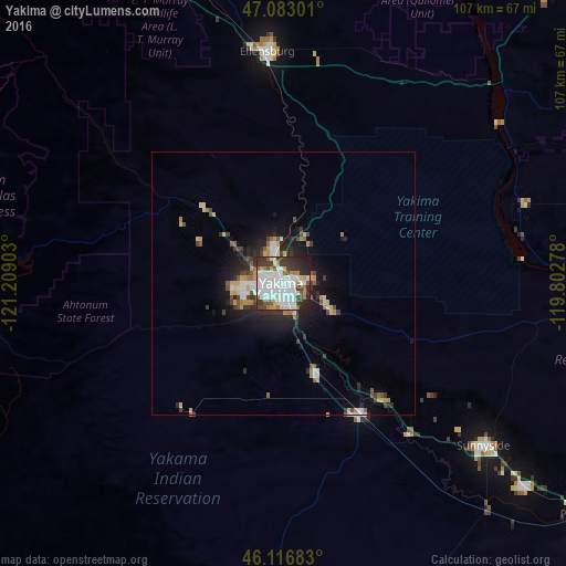
Analysis of Yakima night lights 2016
Square area 10x10 km:
 26.56%
90-99
21.45%80-89
3.69%70-79
4.55%60-69
5.11%50-59
5.11%40-49
4.69%30-39
12.5%20-29
11.79%10-19
4.55%0-9
0%Square area 50x50 km:
1.52%90-99
1.35%80-89
0.65%70-79
0.85%60-69
0.63%50-59
0.74%40-49
0.94%30-39
1.3%20-29
2.13%10-19
4.01%0-9
85.88%Clear (daylight) street map image can be seen on geolist.org.
Map coordinates:
47° 4' 58.8" North, 121° 12' 32.5" West
46° 36' 7.5" North, 120° 30' 21.2" West
46° 7' 0.6" North, 119° 48' 10" West
Some cities around Yakima sort by population:
• Ellensburg
44 km =27.3 mi,  355°
355°
• Sunnyside
49.1 km =30.5 mi,  129°
129°
• West Valley
7.7 km =4.8 mi,  261°
261°
• Toppenish
29.2 km =18.1 mi,  148°
148°
• Selah
6.1 km =3.8 mi,  342°
342°
• Terrace Heights
5.1 km =3.2 mi,  84°
84°
• Union Gap
5.5 km =3.4 mi, 154°
• Wapato
18.4 km =11.4 mi,  159°
159°
5816605 (p: 93,701)
Sources (retrieved 2019-11-25):
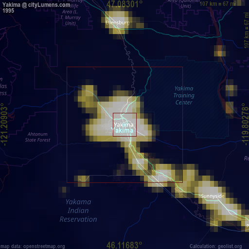
» NASA, Earths city lights 1995
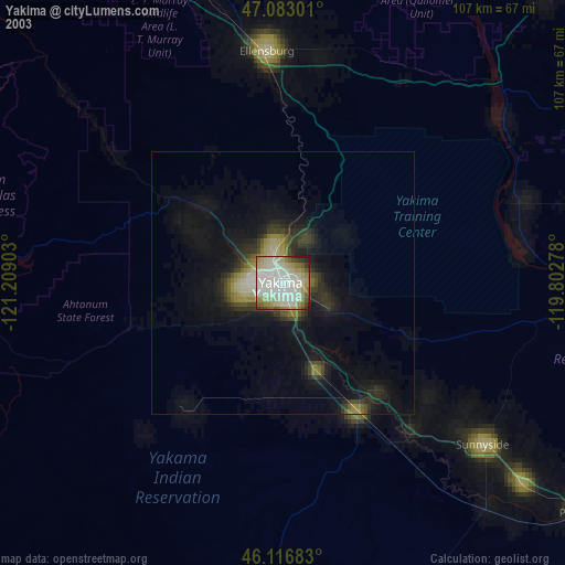
» NASA city lights 2003
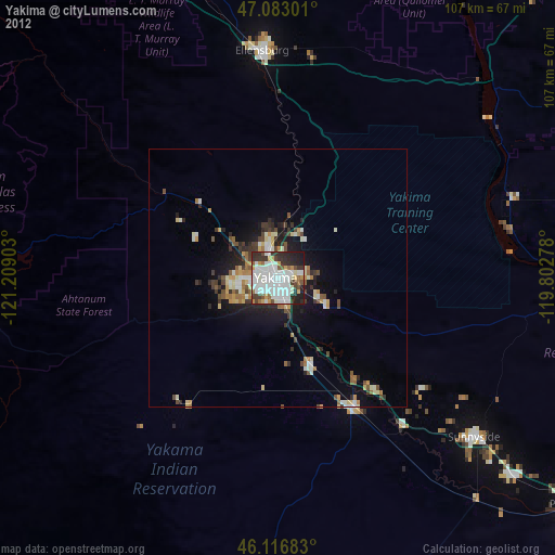
» Earth at Night: Flat Maps 2012, 2016