Woonsocket night lights from space
Night Light of Woonsocket (Rhode Island) from space (United States) Src. Average luminocity for 10x10km area is 54.9857% and for 50x50km: 33.6739%.
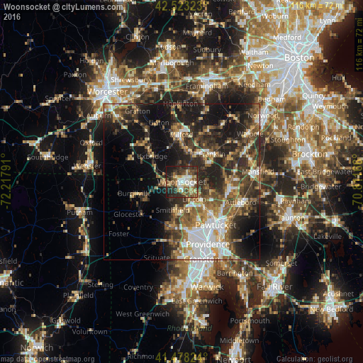
Analysis of Woonsocket night lights 2016
Square area 10x10 km:
 8.89%
8.89%90-99
10.32%80-89
8.41%70-79
4.6%60-69
9.05%50-59
8.73%40-49
10.95%30-39
14.44%20-29
15.4%10-19
9.21%0-9
0%Square area 50x50 km:
5.28%90-99
5.09%80-89
3.53%70-79
3.78%60-69
5.02%50-59
6.14%40-49
6.34%30-39
7.41%20-29
11%10-19
15.89%0-9
30.52%Clear (daylight) street map image can be seen on geolist.org.
Map coordinates:
42° 31' 23.6" North, 72° 13' 4.5" West
42° 0' 10.4" North, 71° 30' 53.2" West
41° 28' 41.7" North, 70° 48' 42" West
Some cities around Woonsocket sort by population:
• Cumberland
7.9 km =4.9 mi,  120°
120°
• Smithfield
9.4 km =5.8 mi,  197°
197°
• Lincoln
11.2 km =7 mi,  144°
144°
• Uxbridge
12.6 km =7.8 mi,  311°
311°
• North Smithfield
4.9 km =3 mi,  215°
215°
• Blackstone
2.7 km =1.7 mi, 307°
• Cumberland Hill
5.1 km =3.2 mi,  128°
128°
• Mendon
11.8 km =7.3 mi,  344°
344°
5225809 (p: 41,475)
Sources (retrieved 2019-11-25):
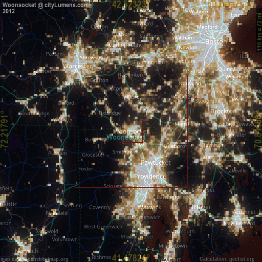
» Earth at Night: Flat Maps 2012, 2016