Lincoln night lights from space
Night Light of Lincoln (Rhode Island) from space (United States) Src. Average luminocity for 10x10km area is 71.1032% and for 50x50km: 39.6835%.
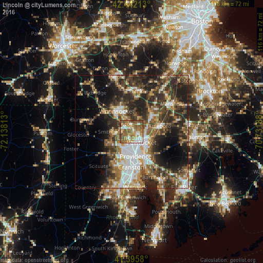
Analysis of Lincoln night lights 2016
Square area 10x10 km:
 10.79%
90-99
13.65%80-89
7.46%70-79
13.65%60-69
21.9%50-59
20.63%40-49
11.11%30-39
0.79%20-29
0%10-19
0%0-9
0%Square area 50x50 km:
7.01%90-99
6.39%80-89
4.17%70-79
4.49%60-69
5.9%50-59
7.11%40-49
7.68%30-39
8.81%20-29
12.6%10-19
12.19%0-9
23.66%Clear (daylight) street map image can be seen on geolist.org.
Map coordinates:
42° 26' 31.7" North, 72° 8' 17.3" West
41° 55' 16" North, 71° 26' 6" West
41° 23' 44.9" North, 70° 43' 54.8" West
Some cities around Lincoln sort by population:
• Pawtucket
6.4 km =4 mi,  137°
137°
• Cumberland
5.1 km =3.2 mi,  2°
2°
• North Providence
8.3 km =5.2 mi,  198°
198°
• Smithfield
9.5 km =5.9 mi,  270°
270°
• Central Falls
4.9 km =3 mi,  133°
133°
• Valley Falls
4 km =2.5 mi,  113°
113°
• North Smithfield
10.7 km =6.6 mi,  298°
298°
• Cumberland Hill
6.5 km =4 mi,  335°
335°
8531960 (p: 21,670)
Sources (retrieved 2019-11-25):
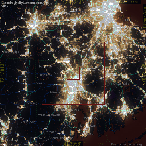
» Earth at Night: Flat Maps 2012, 2016