Cumberland night lights from space
Night Light of Cumberland (Rhode Island) from space (United States) Src. Average luminocity for 10x10km area is 58.0937% and for 50x50km: 38.4463%.
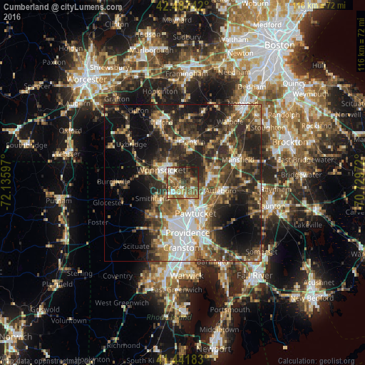
Analysis of Cumberland night lights 2016
Square area 10x10 km:
 6.35%
6.35%90-99
8.57%80-89
6.03%70-79
7.3%60-69
16.35%50-59
16.19%40-49
16.51%30-39
8.73%20-29
11.75%10-19
2.22%0-9
0%Square area 50x50 km:
6.27%90-99
5.76%80-89
3.98%70-79
4.22%60-69
5.77%50-59
7.23%40-49
7.59%30-39
8.81%20-29
12.99%10-19
15%0-9
22.37%Clear (daylight) street map image can be seen on geolist.org.
Map coordinates:
42° 29' 14.7" North, 72° 8' 9.5" West
41° 58' 0.4" North, 71° 25' 58.2" West
41° 26' 30.6" North, 70° 43' 47" West
Some cities around Cumberland sort by population:
• Pawtucket
10.6 km =6.6 mi,  156°
156°
• Woonsocket
7.9 km =4.9 mi,  300°
300°
• Lincoln
5.1 km =3.2 mi,  182°
182°
• Central Falls
9.1 km =5.7 mi, 158°
• North Attleborough Center
9 km =5.6 mi,  85°
85°
• Valley Falls
7.5 km =4.7 mi,  152°
152°
• North Smithfield
9.6 km =6 mi,  270°
270°
• Plainville
9.3 km =5.8 mi,  63°
63°
5221703 (p: 34,843)
Sources (retrieved 2019-11-25):
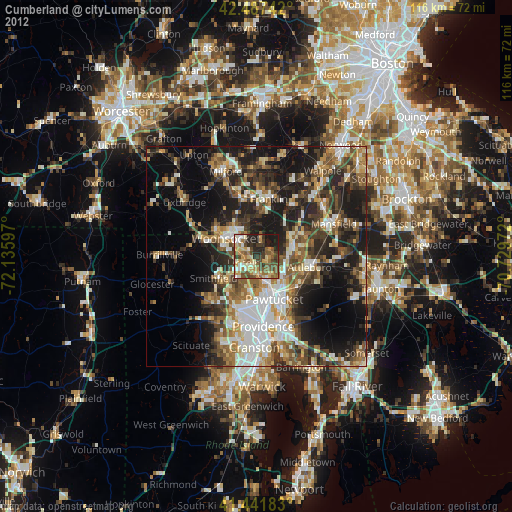
» Earth at Night: Flat Maps 2012, 2016