Smithfield night lights from space
Night Light of Smithfield (Rhode Island) from space (United States) Src. Average luminocity for 10x10km area is 32.3111% and for 50x50km: 33.2562%.
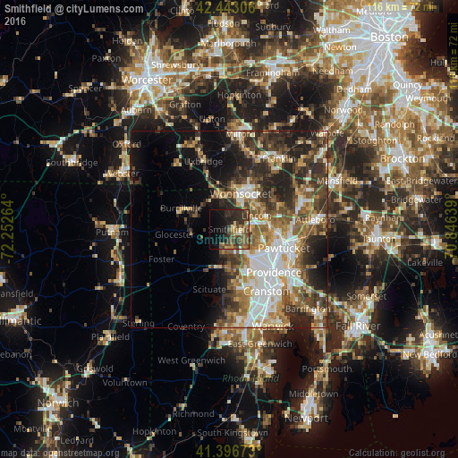
Analysis of Smithfield night lights 2016
Square area 10x10 km:
 0.63%
0.63%90-99
2.22%80-89
3.49%70-79
3.17%60-69
5.71%50-59
10.95%40-49
9.84%30-39
10.95%20-29
11.11%10-19
18.73%0-9
23.17%Square area 50x50 km:
6.34%90-99
5.67%80-89
3.51%70-79
3.86%60-69
4.99%50-59
5.78%40-49
6.01%30-39
6.43%20-29
8.99%10-19
9.62%0-9
38.8%Clear (daylight) street map image can be seen on geolist.org.
Map coordinates:
42° 26' 35" North, 72° 15' 9.5" West
41° 55' 19.3" North, 71° 32' 58.2" West
41° 23' 48.2" North, 70° 50' 47" West
Some cities around Smithfield sort by population:
• Woonsocket
9.4 km =5.8 mi,  17°
17°
• North Providence
10.6 km =6.6 mi,  139°
139°
• Lincoln
9.5 km =5.9 mi,  90°
90°
• North Smithfield
5 km =3.1 mi,  0°
0°
• North Scituate
10.5 km =6.5 mi,  197°
197°
• Blackstone
10.7 km =6.6 mi, 3°
• Greenville
5.7 km =3.5 mi,  182°
182°
• Cumberland Hill
9 km =5.6 mi,  49°
49°
5224949 (p: 21,872)
Sources (retrieved 2019-11-25):
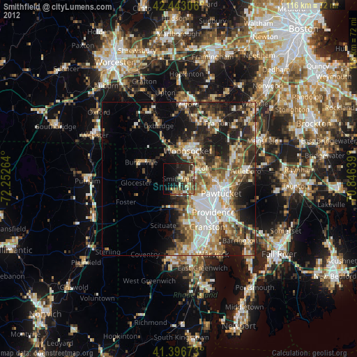
» Earth at Night: Flat Maps 2012, 2016