Glendale Heights night lights from space
Night Light of Glendale Heights (Illinois) from space (United States) Src. Average luminocity for 10x10km area is 93.0587% and for 50x50km: 87.4098%.
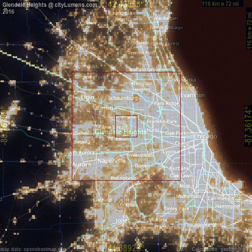
Analysis of Glendale Heights night lights 2016
Square area 10x10 km:
 33.65%
90-99
33.49%80-89
25.56%70-79
7.3%60-69
0%50-59
0%40-49
0%30-39
0%20-29
0%10-19
0%0-9
0%Square area 50x50 km:
31.6%90-99
25.73%80-89
15.34%70-79
11.65%60-69
9.03%50-59
4.84%40-49
1.23%30-39
0.38%20-29
0.2%10-19
0%0-9
0%Clear (daylight) street map image can be seen on geolist.org.
Map coordinates:
42° 26' 8.4" North, 88° 46' 4.8" West
41° 54' 52.6" North, 88° 3' 53.5" West
41° 23' 21.2" North, 87° 21' 42.3" West
Some cities around Glendale Heights sort by population:
• Wheaton
6.4 km =4 mi,  212°
212°
• Lombard
6.1 km =3.8 mi,  129°
129°
• Carol Stream
5.8 km =3.6 mi,  267°
267°
• Addison
6.6 km =4.1 mi,  73°
73°
• Glen Ellyn
4.1 km =2.5 mi,  182°
182°
• Roselle
7.9 km =4.9 mi,  351°
351°
• Bloomingdale
5 km =3.1 mi,  344°
344°
• Villa Park
6.9 km =4.3 mi,  113°
113°
4832038 (p: 34,208)
Sources (retrieved 2019-11-25):
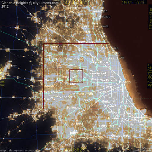
» Earth at Night: Flat Maps 2012, 2016