Wilmette night lights from space
Night Light of Wilmette (Illinois) from space (United States) Src. Average luminocity for 10x10km area is 75.7159% and for 50x50km: 50.2306%.
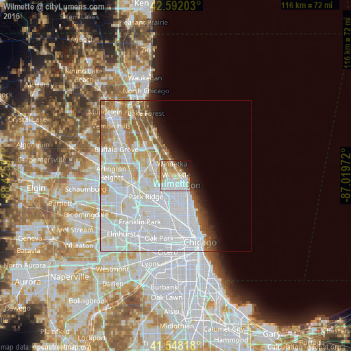
Analysis of Wilmette night lights 2016
Square area 10x10 km:
 26.35%
90-99
20.16%80-89
10.16%70-79
14.76%60-69
5.71%50-59
2.86%40-49
2.86%30-39
2.86%20-29
7.94%10-19
5.71%0-9
0.63%Square area 50x50 km:
24.53%90-99
12.52%80-89
5.13%70-79
3.5%60-69
4.27%50-59
3.14%40-49
1.39%30-39
1.06%20-29
2.08%10-19
3.1%0-9
39.28%Clear (daylight) street map image can be seen on geolist.org.
Map coordinates:
42° 35' 31.3" North, 88° 25' 33.5" West
42° 4' 20.1" North, 87° 43' 22.2" West
41° 32' 53.4" North, 87° 1' 11" West
Some cities around Wilmette sort by population:
• Evanston
4.4 km =2.7 mi,  141°
141°
• Skokie
4.4 km =2.7 mi,  191°
191°
• Glenview
5.4 km =3.4 mi,  267°
267°
• Morton Grove
6.1 km =3.8 mi,  234°
234°
• Lincolnwood
7.6 km =4.7 mi,  184°
184°
• Winnetka
4.1 km =2.5 mi,  344°
344°
• Glencoe
7.6 km =4.7 mi, 337°
• Northfield
5.7 km =3.5 mi,  302°
302°
4916732 (p: 27,413)
Sources (retrieved 2019-11-25):
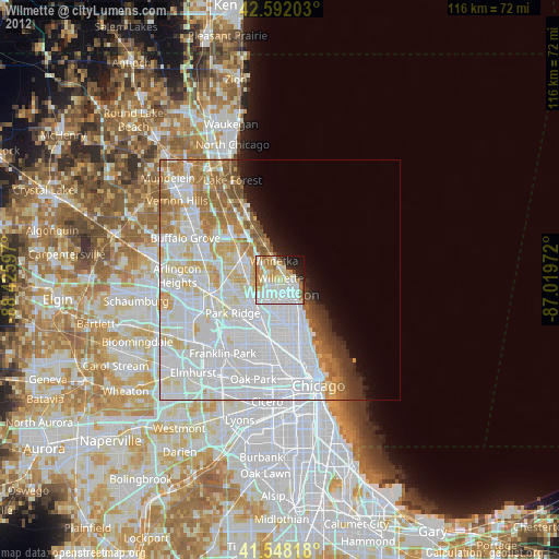
» Earth at Night: Flat Maps 2012, 2016