Lincolnwood night lights from space
Night Light of Lincolnwood (Illinois) from space (United States) Src. Average luminocity for 10x10km area is 99.454% and for 50x50km: 58.6995%.
Analysis of Lincolnwood night lights 2016
Square area 10x10 km:
 85.87%
90-99
13.49%80-89
0%70-79
0%60-69
0%50-59
0.63%40-49
0%30-39
0%20-29
0%10-19
0%0-9
0%Square area 50x50 km:
31.07%90-99
14.77%80-89
6.12%70-79
3.39%60-69
3.1%50-59
2.48%40-49
1.45%30-39
1.31%20-29
1.99%10-19
3.02%0-9
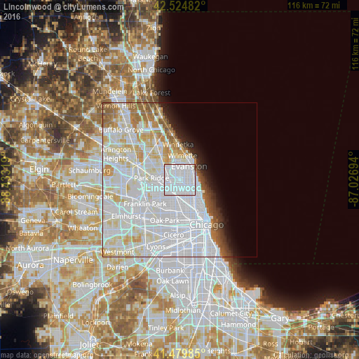
31.3%Clear (daylight) street map image can be seen on geolist.org.
Map coordinates:
42° 31' 29.4" North, 88° 25' 59.5" West
42° 0' 16.1" North, 87° 43' 48.2" West
41° 28' 47.5" North, 87° 1' 37" West
Some cities around Lincolnwood sort by population:
• Evanston
5.2 km =3.2 mi,  39°
39°
• West Ridge
3.1 km =1.9 mi,  99°
99°
• Portage Park
5.9 km =3.7 mi,  209°
209°
• Skokie
3.2 km =2 mi,  355°
355°
• Irving Park
5.7 km =3.5 mi,  185°
185°
• Edgewater
5.9 km =3.7 mi,  113°
113°
• Rogers Park
5.3 km =3.3 mi,  84°
84°
• Albany Park
4.1 km =2.5 mi,  172°
172°
4899988 (p: 12,646)
Sources (retrieved 2019-11-25):
» Earth at Night: Flat Maps 2012, 2016