Evanston night lights from space
Night Light of Evanston (Illinois) from space (United States) Src. Average luminocity for 10x10km area is 73.3032% and for 50x50km: 48.528%.
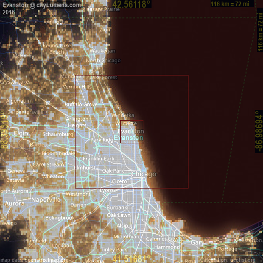
Analysis of Evanston night lights 2016
Square area 10x10 km:
 38.41%
90-99
17.46%80-89
4.76%70-79
4.92%60-69
2.06%50-59
3.02%40-49
4.13%30-39
5.71%20-29
8.89%10-19
8.1%0-9
2.54%Square area 50x50 km:
25.24%90-99
11.91%80-89
4.76%70-79
2.9%60-69
3.26%50-59
2.32%40-49
1.41%30-39
1.18%20-29
2%10-19
3.09%0-9
41.93%Clear (daylight) street map image can be seen on geolist.org.
Map coordinates:
42° 33' 40.2" North, 88° 23' 35.5" West
42° 2' 28.1" North, 87° 41' 24.2" West
41° 31' 0.5" North, 86° 59' 13" West
Some cities around Evanston sort by population:
• West Ridge
4.6 km =2.9 mi,  182°
182°
• Skokie
3.7 km =2.3 mi,  256°
256°
• Edgewater
6.8 km =4.2 mi,  161°
161°
• Rogers Park
4.1 km =2.5 mi,  151°
151°
• Lincoln Square
7.3 km =4.5 mi, 179°
• Wilmette
4.4 km =2.7 mi,  321°
321°
• Morton Grove
7.6 km =4.7 mi,  269°
269°
• Lincolnwood
5.2 km =3.2 mi,  219°
219°
4891382 (p: 75,527)
Sources (retrieved 2019-11-25):
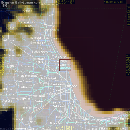
» NASA, Earths city lights 1995
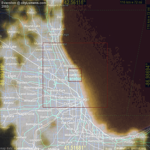
» NASA city lights 2003
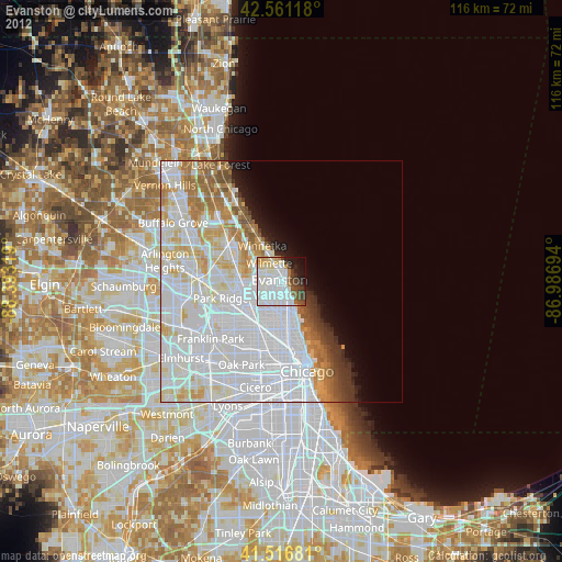
» Earth at Night: Flat Maps 2012, 2016