Morton Grove night lights from space
Night Light of Morton Grove (Illinois) from space (United States) Src. Average luminocity for 10x10km area is 94.1825% and for 50x50km: 61.8291%.
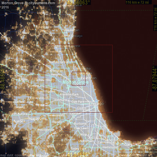
Analysis of Morton Grove night lights 2016
Square area 10x10 km:
 45.87%
90-99
28.41%80-89
15.71%70-79
9.52%60-69
0.48%50-59
0%40-49
0%30-39
0%20-29
0%10-19
0%0-9
0%Square area 50x50 km:
29.16%90-99
15.91%80-89
7.2%70-79
4.99%60-69
4.49%50-59
3.91%40-49
1.81%30-39
1.27%20-29
2%10-19
3.09%0-9
26.17%Clear (daylight) street map image can be seen on geolist.org.
Map coordinates:
42° 33' 38.3" North, 88° 29' 8.5" West
42° 2' 26.1" North, 87° 46' 57.2" West
41° 30' 58.5" North, 87° 4' 46" West
Some cities around Morton Grove sort by population:
• Evanston
7.6 km =4.7 mi,  89°
89°
• Skokie
4.1 km =2.5 mi,  101°
101°
• Glenview
3.3 km =2.1 mi,  352°
352°
• Park Ridge
5.8 km =3.6 mi,  235°
235°
• Niles
2.9 km =1.8 mi,  214°
214°
• Wilmette
6.1 km =3.8 mi,  54°
54°
• Lincolnwood
5.9 km =3.7 mi,  132°
132°
• Northfield
6.6 km =4.1 mi,  1°
1°
4902763 (p: 23,448)
Sources (retrieved 2019-11-25):
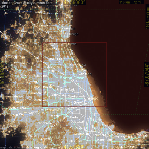
» Earth at Night: Flat Maps 2012, 2016