Weyburn night lights from space
Night Light of Weyburn (Saskatchewan) from space (Canada) Src. Average luminocity for 10x10km area is 14.7005% and for 50x50km: 0.7055%.
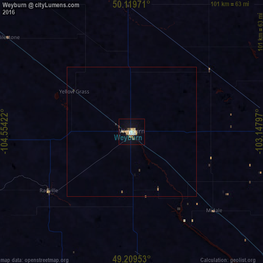
Analysis of Weyburn night lights 2016
Square area 10x10 km:
 1.74%
1.74%90-99
1.2%80-89
3.48%70-79
2.67%60-69
1.2%50-59
2.54%40-49
0.8%30-39
0.8%20-29
0.53%10-19
6.28%0-9
78.74%Square area 50x50 km:
0.07%90-99
0.05%80-89
0.15%70-79
0.12%60-69
0.06%50-59
0.13%40-49
0.04%30-39
0.09%20-29
0.05%10-19
0.26%0-9
98.97%Clear (daylight) street map image can be seen on geolist.org.
Map coordinates:
50° 7' 11" North, 104° 33' 15.2" West
49° 40' 0.3" North, 103° 51' 3.9" West
49° 12' 34.3" North, 103° 8' 52.7" West
Some cities around Weyburn sort by population:
• Regina
102.9 km =63.9 mi,  327°
327°
• Moose Jaw
145.3 km =90.3 mi,  304°
304°
• Williston, US
169.8 km =105.5 mi,  174°
174°
• Yorkton
198.2 km =123.2 mi,  29°
29°
• Estevan
86.3 km =53.6 mi,  133°
133°
• Sidney, US
218 km =135.5 mi,  185°
185°
• Watford City, US
211.5 km =131.4 mi, 168°
• Minot Air Force Base, US
229.6 km =142.7 mi, 127°
6179652 (p: 9,362)
Sources (retrieved 2019-11-25):
» Earth at Night: Flat Maps 2012, 2016