Missoula night lights from space
Night Light of Missoula (Montana) from space (United States) Src. Average luminocity for 10x10km area is 47.2024% and for 50x50km: 3.4198%.

Analysis of Missoula night lights 2016
Square area 10x10 km:
 12.05%
90-99
11.16%80-89
5.06%70-79
6.85%60-69
5.06%50-59
1.79%40-49
5.8%30-39
5.8%20-29
10.71%10-19
16.82%0-9
18.9%Square area 50x50 km:
0.53%90-99
0.6%80-89
0.35%70-79
0.39%60-69
0.31%50-59
0.27%40-49
0.53%30-39
0.49%20-29
0.98%10-19
2.87%0-9
92.68%Clear (daylight) street map image can be seen on geolist.org.
Map coordinates:
47° 21' 2.4" North, 114° 41' 49.7" West
46° 52' 19.7" North, 113° 59' 38.4" West
46° 23' 21.6" North, 113° 17' 27.2" West
Some cities around Missoula sort by population:
• Butte
147.7 km =91.8 mi,  130°
130°
• Butte-Silver Bow (Balance)
148.8 km =92.5 mi,  136°
136°
• Helena
152.4 km =94.7 mi,  101°
101°
• Kalispell
149.1 km =92.6 mi,  350°
350°
• Anaconda
115.4 km =71.7 mi, 135°
• Helena Valley West Central
149.1 km =92.6 mi, 98°
• Evergreen
152 km =94.4 mi, 351°
• Orchard Homes
4.3 km =2.7 mi,  256°
256°
5666639 (p: 71,022)
Sources (retrieved 2019-11-25):
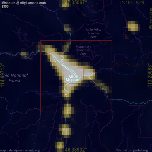
» NASA, Earths city lights 1995
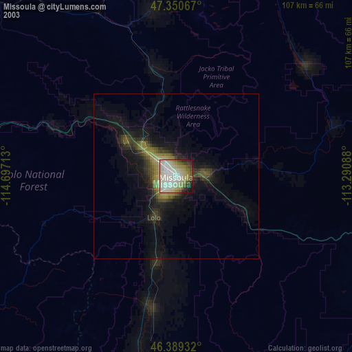
» NASA city lights 2003
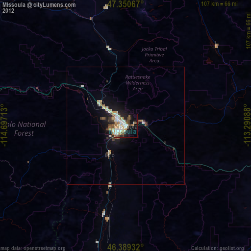
» Earth at Night: Flat Maps 2012, 2016