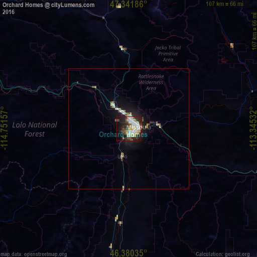
Orchard Homes night lights from space
Night Light of Orchard Homes (Montana) from space (United States) Src. Average luminocity for 10x10km area is 47.6473% and for 50x50km: 3.4546%.
Analysis of Orchard Homes night lights 2016
Square area 10x10 km:
 11.46%
90-99
10.57%80-89
4.61%70-79
6.7%60-69
4.61%50-59
2.83%40-49
7.29%30-39
6.4%20-29
16.37%10-19
16.96%0-9
12.2%Square area 50x50 km:
0.53%90-99
0.61%80-89
0.37%70-79
0.39%60-69
0.31%50-59
0.27%40-49
0.54%30-39
0.51%20-29
0.98%10-19
2.87%0-9
92.63%Clear (daylight) street map image can be seen on geolist.org.
Map coordinates:
47° 20' 30.7" North, 114° 45' 5.7" West
46° 51' 47.7" North, 114° 2' 54.4" West
46° 22' 49.3" North, 113° 20' 43.2" West
Some cities around Orchard Homes sort by population:
• Missoula
4.3 km =2.7 mi,  76°
76°
• Butte
150.3 km =93.4 mi,  129°
129°
• Butte-Silver Bow (Balance)
151 km =93.8 mi,  135°
135°
• Helena
156.3 km =97.1 mi,  101°
101°
• Kalispell
149.5 km =92.9 mi,  352°
352°
• Anaconda
117.7 km =73.1 mi, 133°
• Helena Valley West Central
153 km =95.1 mi, 98°
• Evergreen
152.5 km =94.8 mi, 353°
5670128 (p: 5,197)
Sources (retrieved 2019-11-25):
» Earth at Night: Flat Maps 2012, 2016