White Plains night lights from space
Night Light of White Plains (New York) from space (United States) Src. Average luminocity for 10x10km area is 81.6378% and for 50x50km: 53.3773%.
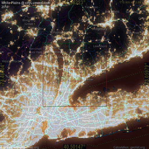
Analysis of White Plains night lights 2016
Square area 10x10 km:
 19.73%
90-99
20.92%80-89
6.63%70-79
25%60-69
22.45%50-59
4.42%40-49
0.34%30-39
0.51%20-29
0%10-19
0%0-9
0%Square area 50x50 km:
11.5%90-99
9.93%80-89
6.12%70-79
8.15%60-69
11.39%50-59
8.76%40-49
6.28%30-39
5.93%20-29
8.54%10-19
10.85%0-9
12.54%Clear (daylight) street map image can be seen on geolist.org.
Map coordinates:
41° 33' 44" North, 74° 27' 57.7" West
41° 2' 2.4" North, 73° 45' 46.5" West
40° 30' 5.3" North, 73° 3' 35.2" West
Some cities around White Plains sort by population:
• Greenburgh
6.7 km =4.2 mi,  268°
268°
• Port Chester
8.9 km =5.5 mi,  113°
113°
• Harrison
8.4 km =5.2 mi,  149°
149°
• Scarsdale
3.7 km =2.3 mi,  209°
209°
• Rye
8.9 km =5.5 mi,  131°
131°
• Rye Brook
6.9 km =4.3 mi,  103°
103°
• Greenville
6.6 km =4.1 mi,  226°
226°
• Hartsdale
3.4 km =2.1 mi,  240°
240°
5144336 (p: 58,459)
Sources (retrieved 2019-11-25):
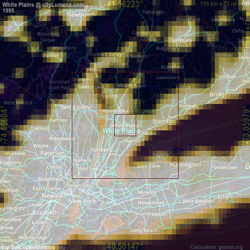
» NASA, Earths city lights 1995
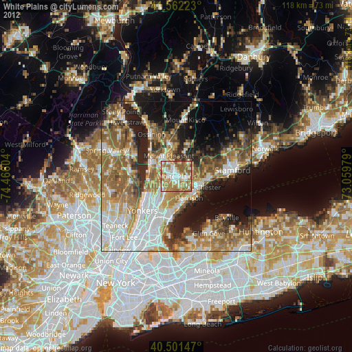
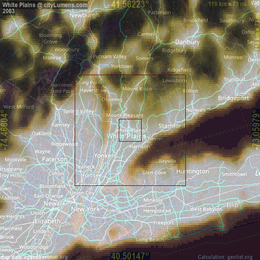
» NASA city lights 2003
» Earth at Night: Flat Maps 2012, 2016