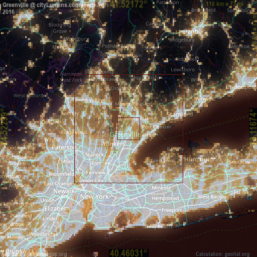
Greenville night lights from space
Night Light of Greenville (New York) from space (United States) Src. Average luminocity for 10x10km area is 80.9218% and for 50x50km: 63.6948%.
Analysis of Greenville night lights 2016
Square area 10x10 km:
 16.67%
90-99
18.71%80-89
9.52%70-79
28.74%60-69
22.45%50-59
3.57%40-49
0.34%30-39
0%20-29
0%10-19
0%0-9
0%Square area 50x50 km:
18.03%90-99
13.47%80-89
7.07%70-79
9.41%60-69
12.67%50-59
7.84%40-49
5.22%30-39
5.14%20-29
7.26%10-19
7.52%0-9
6.38%Clear (daylight) street map image can be seen on geolist.org.
Map coordinates:
41° 31' 18.2" North, 74° 31' 22.8" West
40° 59' 35.3" North, 73° 49' 11.5" West
40° 27' 37.1" North, 73° 7' 0.3" West
Some cities around Greenville sort by population:
• Eastchester
4 km =2.5 mi,  166°
166°
• Scarsdale
3.2 km =2 mi,  65°
65°
• Wykagyl
6 km =3.7 mi,  163°
163°
• Dobbs Ferry
5 km =3.1 mi,  298°
298°
• Hastings-on-Hudson
4.9 km =3 mi,  271°
271°
• Tuckahoe
4.8 km =3 mi,  187°
187°
• Bronxville
6.2 km =3.9 mi, 189°
• Hartsdale
3.4 km =2.1 mi,  32°
32°
5119405 (p: 7,116)
Sources (retrieved 2019-11-25):
» Earth at Night: Flat Maps 2012, 2016