Greenburgh night lights from space
Night Light of Greenburgh (New York) from space (United States) Src. Average luminocity for 10x10km area is 70.1667% and for 50x50km: 57.8345%.
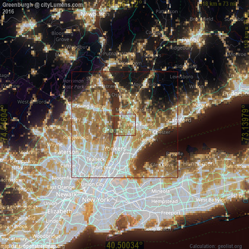
Analysis of Greenburgh night lights 2016
Square area 10x10 km:
 11.73%
90-99
10.37%80-89
9.35%70-79
20.24%60-69
24.32%50-59
5.78%40-49
3.57%30-39
14.12%20-29
0.51%10-19
0%0-9
0%Square area 50x50 km:
14.61%90-99
11.21%80-89
6.56%70-79
8.73%60-69
12.61%50-59
7.89%40-49
5.44%30-39
5.34%20-29
7.84%10-19
9.84%0-9
9.94%Clear (daylight) street map image can be seen on geolist.org.
Map coordinates:
41° 33' 40" North, 74° 32' 45.7" West
41° 1' 58.3" North, 73° 50' 34.5" West
40° 30' 1.2" North, 73° 8' 23.2" West
Some cities around Greenburgh sort by population:
• White Plains
6.7 km =4.2 mi,  88°
88°
• Scarsdale
5.8 km =3.6 mi,  122°
122°
• Tarrytown
5 km =3.1 mi,  344°
344°
• Dobbs Ferry
3.2 km =2 mi,  230°
230°
• Sleepy Hollow
6 km =3.7 mi,  347°
347°
• Hastings-on-Hudson
5.2 km =3.2 mi,  215°
215°
• Irvington
2.2 km =1.4 mi,  288°
288°
• Hartsdale
4.1 km =2.5 mi,  112°
112°
5119347 (p: 86,764)
Sources (retrieved 2019-11-25):
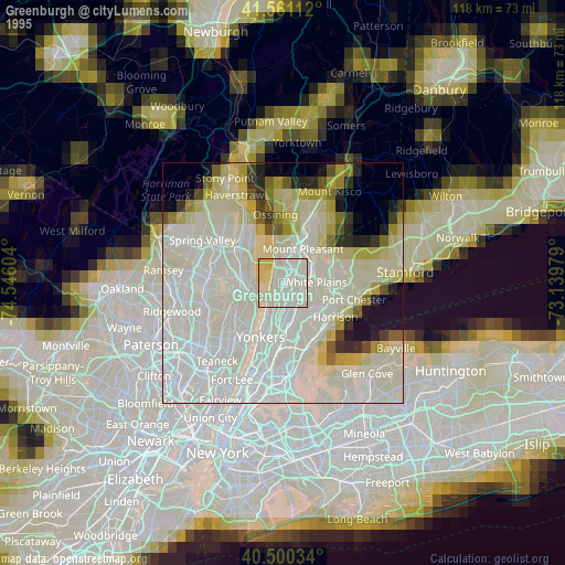
» NASA, Earths city lights 1995
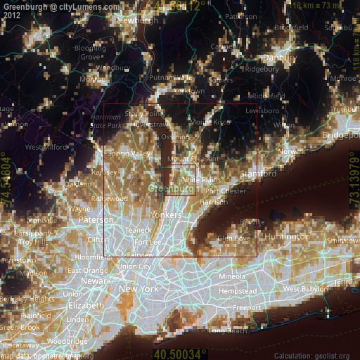
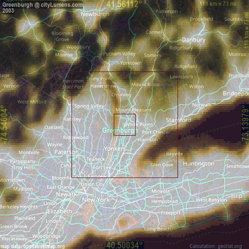
» NASA city lights 2003
» Earth at Night: Flat Maps 2012, 2016