Port Chester night lights from space
Night Light of Port Chester (New York) from space (United States) Src. Average luminocity for 10x10km area is 62.7738% and for 50x50km: 53.0199%.
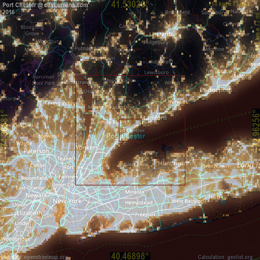
Analysis of Port Chester night lights 2016
Square area 10x10 km:
 12.59%
90-99
13.78%80-89
7.99%70-79
6.97%60-69
19.9%50-59
7.99%40-49
5.44%30-39
2.72%20-29
12.07%10-19
8.84%0-9
1.7%Square area 50x50 km:
12.17%90-99
9.79%80-89
6.24%70-79
8.63%60-69
9.67%50-59
8.12%40-49
6.35%30-39
5.71%20-29
9.14%10-19
10.8%0-9
13.39%Clear (daylight) street map image can be seen on geolist.org.
Map coordinates:
41° 31' 48.9" North, 74° 22' 7.7" West
41° 0' 6.3" North, 73° 39' 56.4" West
40° 28' 8.3" North, 72° 57' 45.2" West
Some cities around Port Chester sort by population:
• Harrison
5.4 km =3.4 mi,  227°
227°
• Mamaroneck
8.1 km =5 mi,  223°
223°
• Rye
2.8 km =1.7 mi,  212°
212°
• Greenwich
4.2 km =2.6 mi,  48°
48°
• Rye Brook
2.5 km =1.6 mi,  322°
322°
• Riverside
8.2 km =5.1 mi,  64°
64°
• Cos Cob
6.6 km =4.1 mi, 57°
• Old Greenwich
8.8 km =5.5 mi,  74°
74°
5132002 (p: 29,620)
Sources (retrieved 2019-11-25):
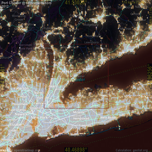
» Earth at Night: Flat Maps 2012, 2016