Harrison night lights from space
Night Light of Harrison (New York) from space (United States) Src. Average luminocity for 10x10km area is 66.3418% and for 50x50km: 61.3368%.
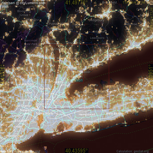
Analysis of Harrison night lights 2016
Square area 10x10 km:
 11.22%
90-99
19.05%80-89
6.97%70-79
9.69%60-69
22.11%50-59
3.74%40-49
4.93%30-39
4.08%20-29
9.52%10-19
8.67%0-9
0%Square area 50x50 km:
17.93%90-99
12.64%80-89
6.5%70-79
8.7%60-69
10.44%50-59
8.4%40-49
6.15%30-39
5.5%20-29
7.54%10-19
7.52%0-9
8.68%Clear (daylight) street map image can be seen on geolist.org.
Map coordinates:
41° 29' 51.9" North, 74° 24' 56.7" West
40° 58' 8.4" North, 73° 42' 45.5" West
40° 26' 9.4" North, 73° 0' 34.2" West
Some cities around Harrison sort by population:
• Port Chester
5.4 km =3.4 mi,  47°
47°
• Eastchester
8.1 km =5 mi,  261°
261°
• Mamaroneck
2.8 km =1.7 mi,  216°
216°
• Scarsdale
7.3 km =4.5 mi,  303°
303°
• Rye
2.8 km =1.7 mi,  61°
61°
• Wykagyl
7.9 km =4.9 mi,  247°
247°
• Rye Brook
6.1 km =3.8 mi,  23°
23°
• Larchmont
5.6 km =3.5 mi, 215°
5120095 (p: 28,348)
Sources (retrieved 2019-11-25):
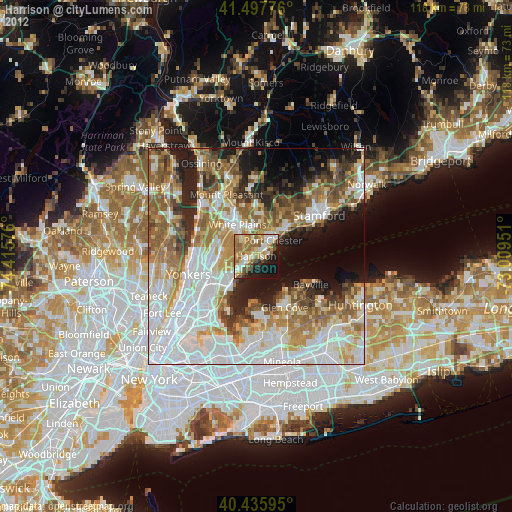
» Earth at Night: Flat Maps 2012, 2016