Wheeling night lights from space
Night Light of Wheeling (West Virginia) from space (United States) Src. Average luminocity for 10x10km area is 61.9708% and for 50x50km: 12.6323%.
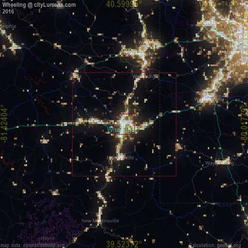
Analysis of Wheeling night lights 2016
Square area 10x10 km:
 13.31%
90-99
14.94%80-89
6.98%70-79
5.84%60-69
7.95%50-59
12.18%40-49
10.88%30-39
8.93%20-29
15.26%10-19
3.73%0-9
0%Square area 50x50 km:
1.06%90-99
1.91%80-89
1.58%70-79
1.15%60-69
1.5%50-59
1.88%40-49
1.95%30-39
2.44%20-29
4.32%10-19
10.88%0-9
71.34%Clear (daylight) street map image can be seen on geolist.org.
Map coordinates:
40° 35' 59.8" North, 81° 25' 26.5" West
40° 3' 50.3" North, 80° 43' 15.3" West
39° 31' 25.4" North, 80° 1' 4" West
Some cities around Wheeling sort by population:
• Weirton Heights
41.3 km =25.7 mi,  21°
21°
• Weirton
41 km =25.5 mi, 15°
• Steubenville
34.8 km =21.6 mi,  12°
12°
• Washington
42.2 km =26.2 mi,  73°
73°
• Moundsville
16.1 km =10 mi,  186°
186°
• Martins Ferry
3.6 km =2.2 mi,  355°
355°
• New Martinsville
48.1 km =29.9 mi, 194°
• Saint Clairsville
15.4 km =9.6 mi,  276°
276°
5280854 (p: 27,648)
Sources (retrieved 2019-11-25):
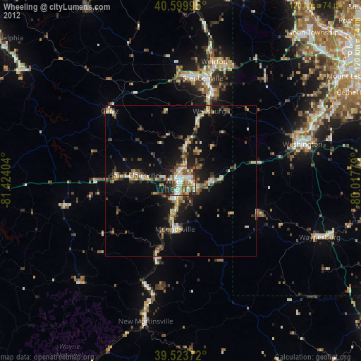
» Earth at Night: Flat Maps 2012, 2016