Saint Clairsville night lights from space
Night Light of Saint Clairsville (Ohio) from space (United States) Src. Average luminocity for 10x10km area is 24.9968% and for 50x50km: 12.427%.
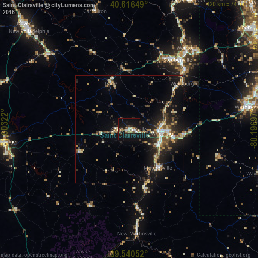
Analysis of Saint Clairsville night lights 2016
Square area 10x10 km:
 2.76%
2.76%90-99
3.25%80-89
1.79%70-79
1.62%60-69
2.76%50-59
4.55%40-49
4.55%30-39
3.08%20-29
9.58%10-19
38.8%0-9
27.27%Square area 50x50 km:
1%90-99
1.83%80-89
1.57%70-79
1.22%60-69
1.53%50-59
1.94%40-49
1.87%30-39
2.35%20-29
4.33%10-19
10.23%0-9
72.13%Clear (daylight) street map image can be seen on geolist.org.
Map coordinates:
40° 36' 59.4" North, 81° 36' 11.6" West
40° 4' 50.3" North, 80° 54' 0.3" West
39° 32' 25.9" North, 80° 11' 49.1" West
Some cities around Saint Clairsville sort by population:
• Wheeling
15.4 km =9.6 mi,  96°
96°
• Weirton Heights
47.6 km =29.6 mi,  40°
40°
• Weirton
45.9 km =28.5 mi, 35°
• Steubenville
39.3 km =24.4 mi, 35°
• Moundsville
22.3 km =13.9 mi,  143°
143°
• Martins Ferry
15 km =9.3 mi,  83°
83°
• Uhrichsville
51.4 km =31.9 mi,  312°
312°
• New Martinsville
48.6 km =30.2 mi,  175°
175°
5169130 (p: 5,184)
Sources (retrieved 2019-11-25):
» Earth at Night: Flat Maps 2012, 2016